Mount Democrat – 14,148′

1_cold_approach
Cold start to the morning at 730am
3_into_the_sun
Finally into the sun and it feels nice! But lots of climbing left.
4_summit
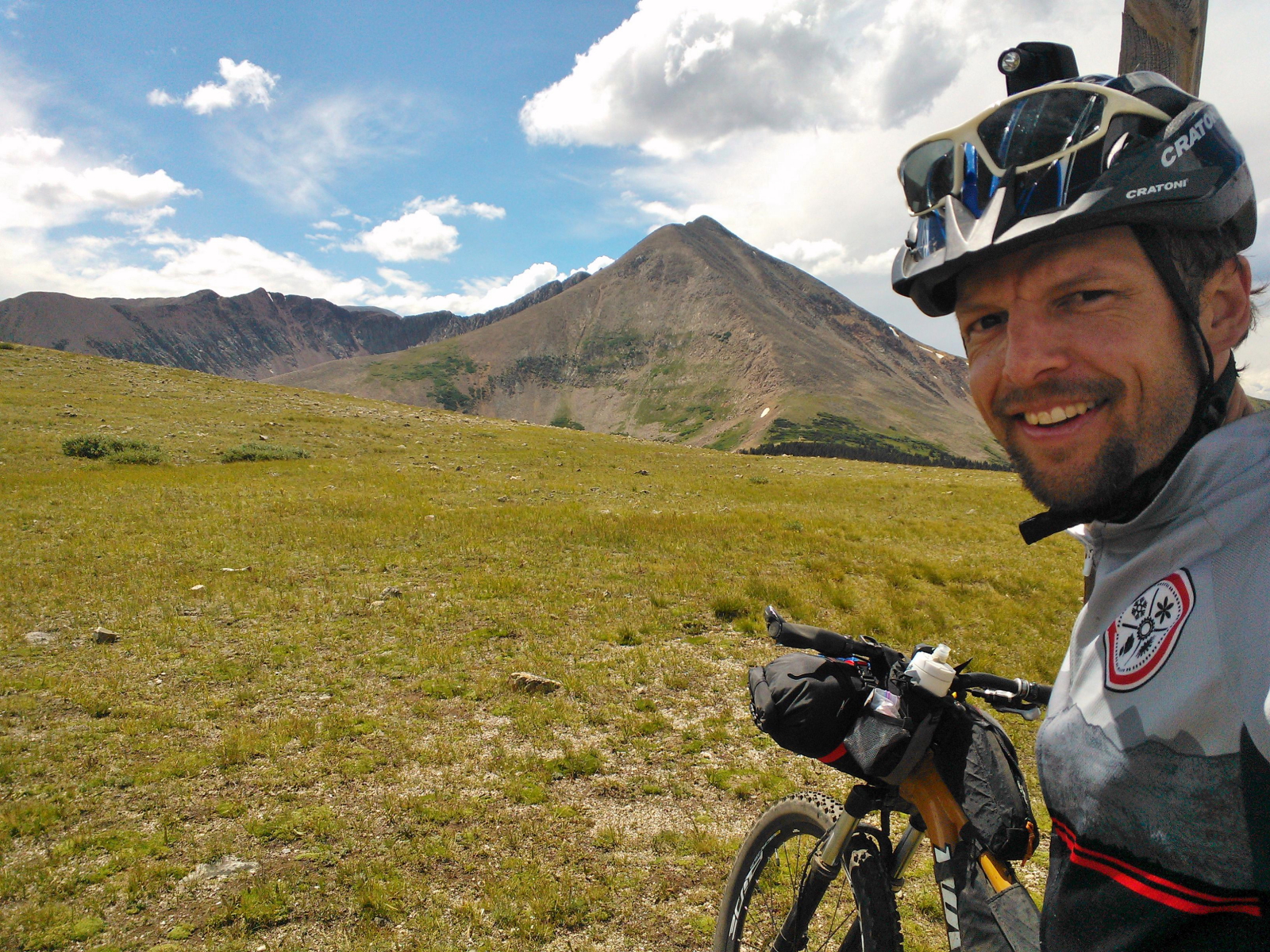
Our first ’14er’! Mt Democrat at 14,148 feet!!
6_back_down_the_ridge
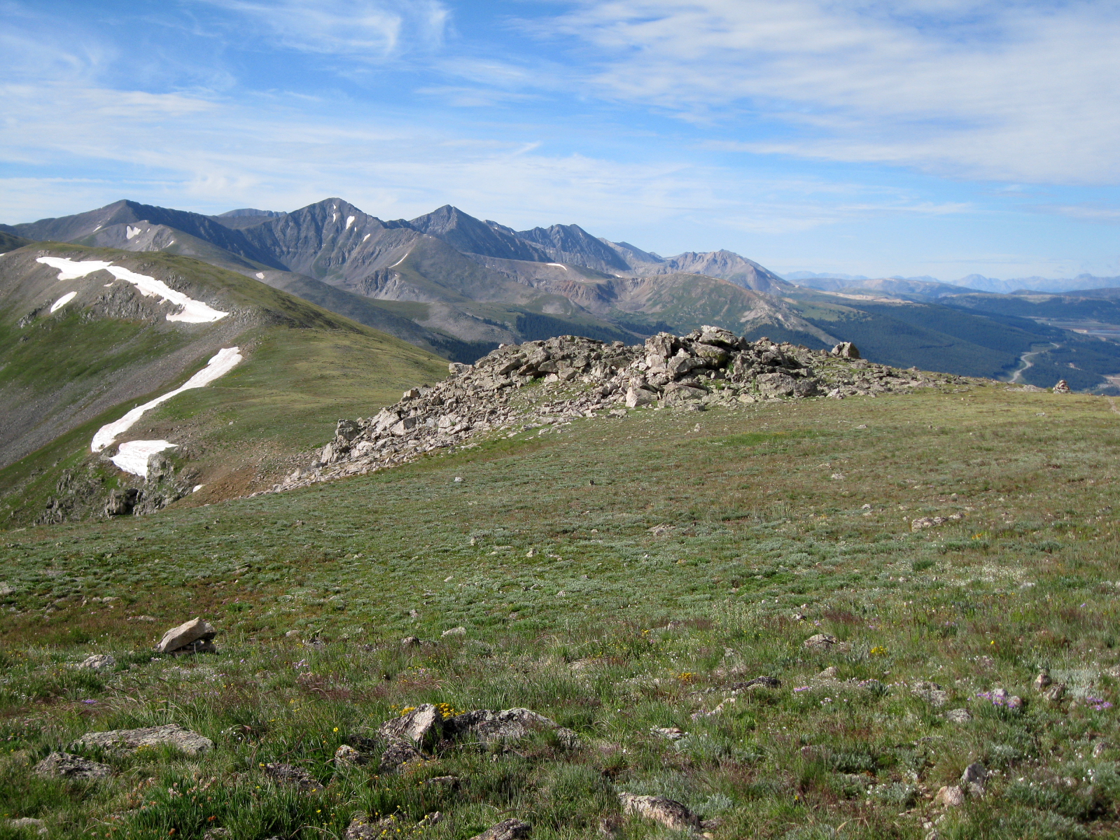
Looking back down the ridge as we hike back down the trail.
8_coffee_break
Coffee break on the trail
9_frisco
That’s my good boy.
12_caught_and_killed
He actually caught and killed this poor little Pika. Never seen him catch or kill anything.
11_kite_lake
Kite Lake below Mt. Democrat.
13_bristlecone_pine
Bristlecone Pine seen on the way down. These trees are the oldest living organisms on the planet, with some species in California being measured at over 5,000 years old, that is no joke. These ones outside of Alma are in the vicinity of 1000 years old…that is just amazing.

2_frisco_climbing 5_endless_mtns 7_sentinel 10_coming_down 15_heading_home 14_fall_color

CTR Post-Race Report

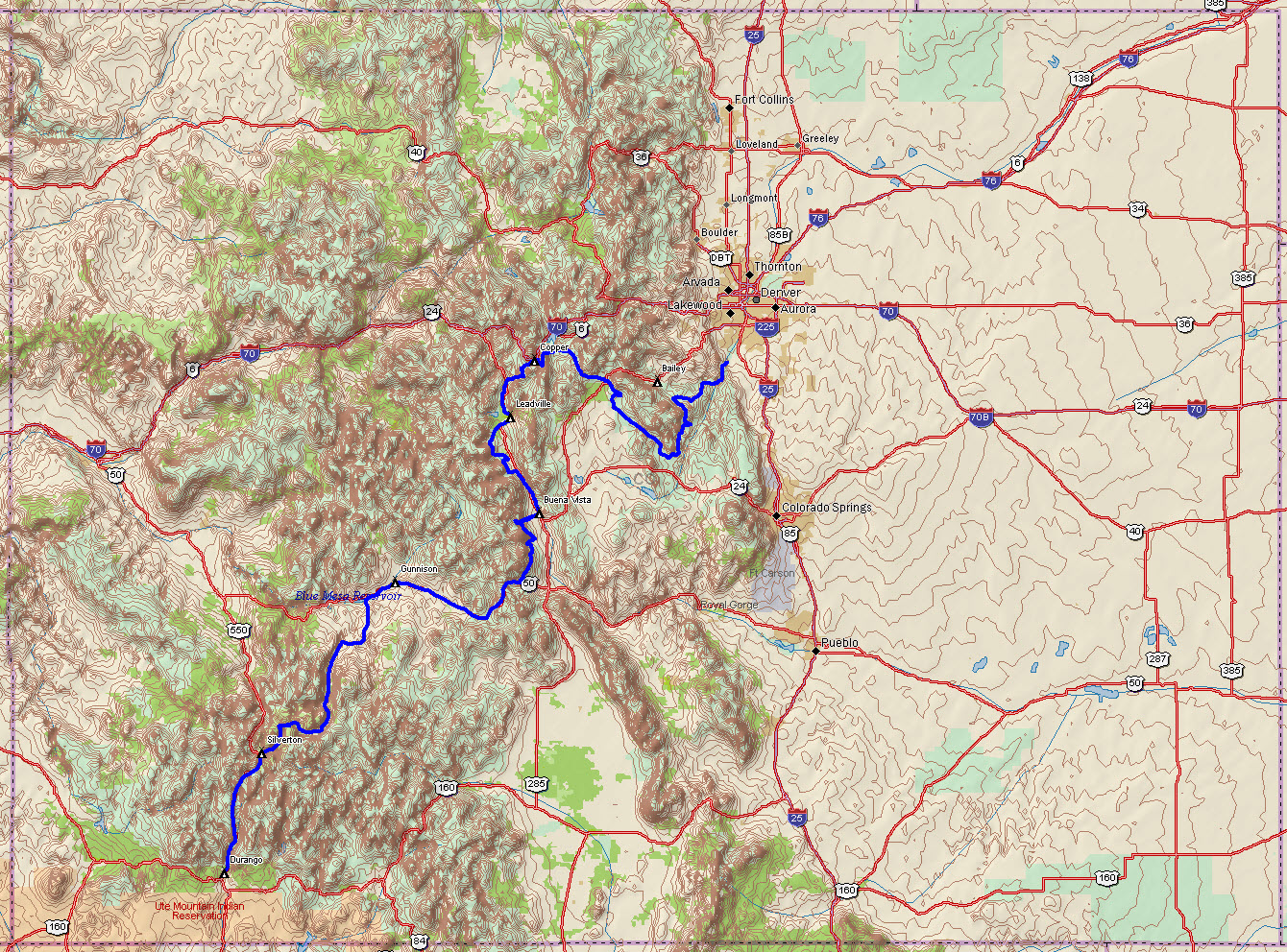
The full route from Waterton Canyon south of Denver to Durango.
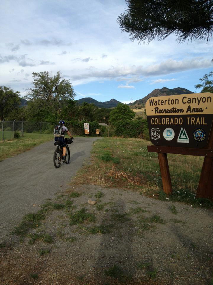
setting_off
August 3rd at 730am I start my long ride south


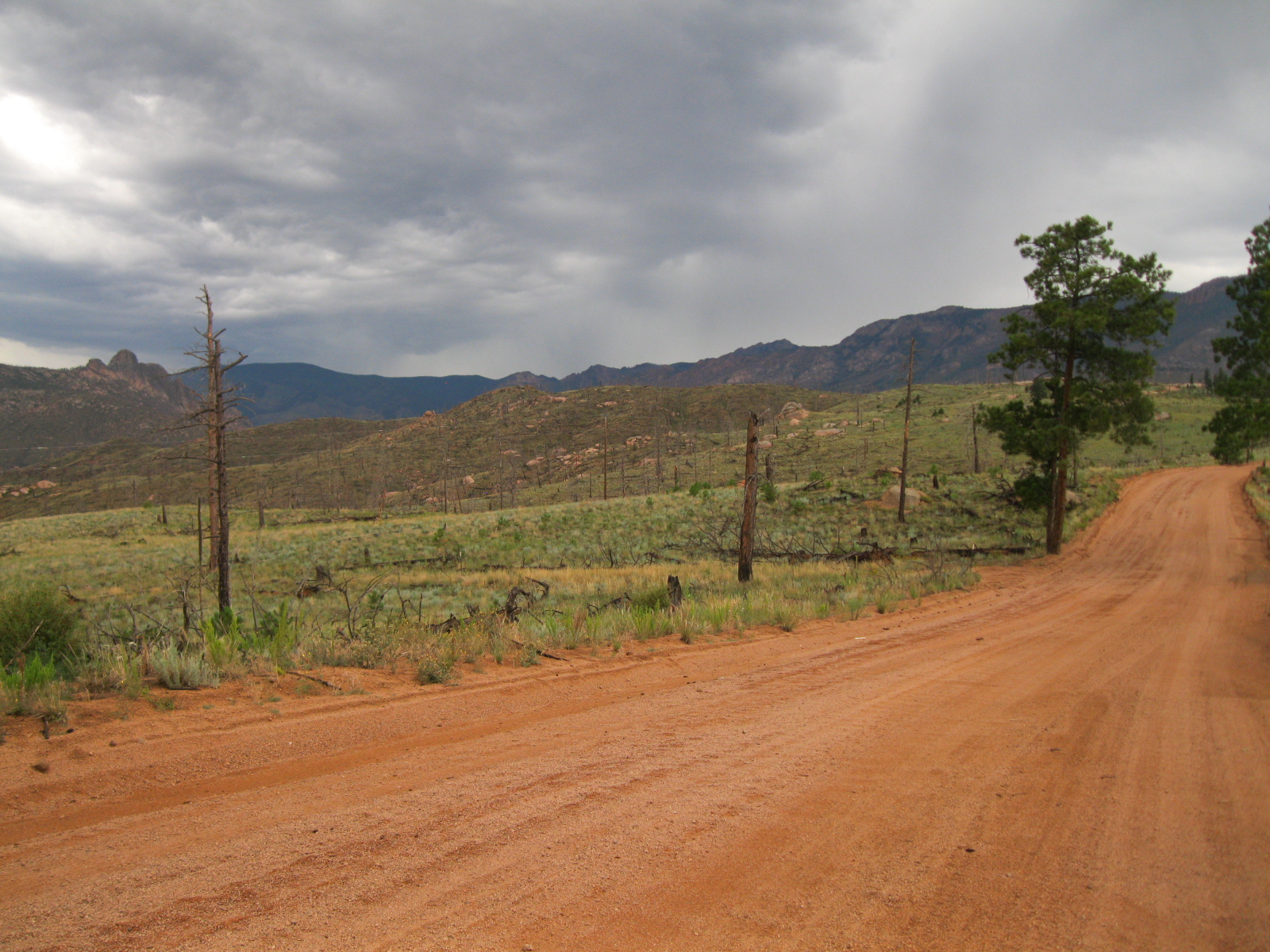
stormy_matukat_road
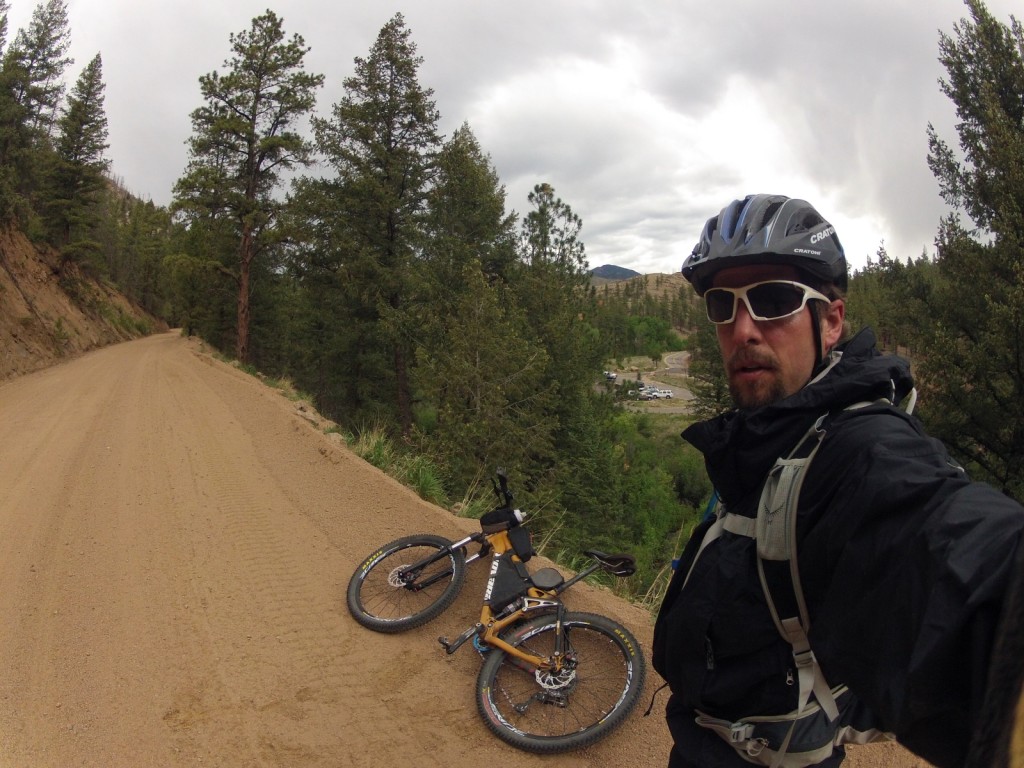
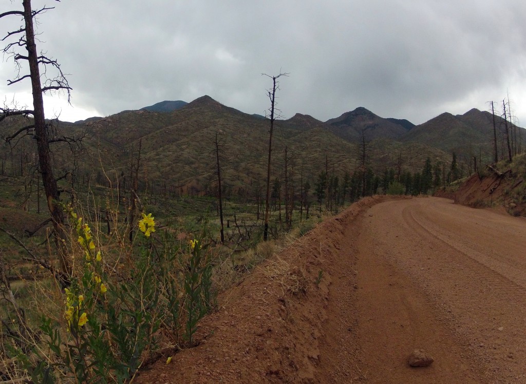
This is the beginning of a long detour around the Lost Creek Wilderness. It’s exposed and desolate through the Hayman Burn area and not a great place to be in these storms.
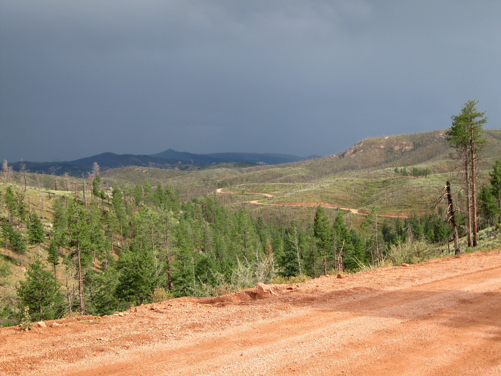
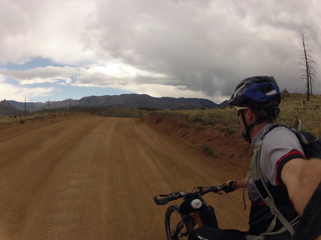
More stormy skies on the Matukat Road. I manage to stay dry enough with those nasty purple skies staying out in front.
End of Day 1 near the small isolated town of Tarryall. It was a very windy and wet night as those clouds finally spilled over the ridge during the night.

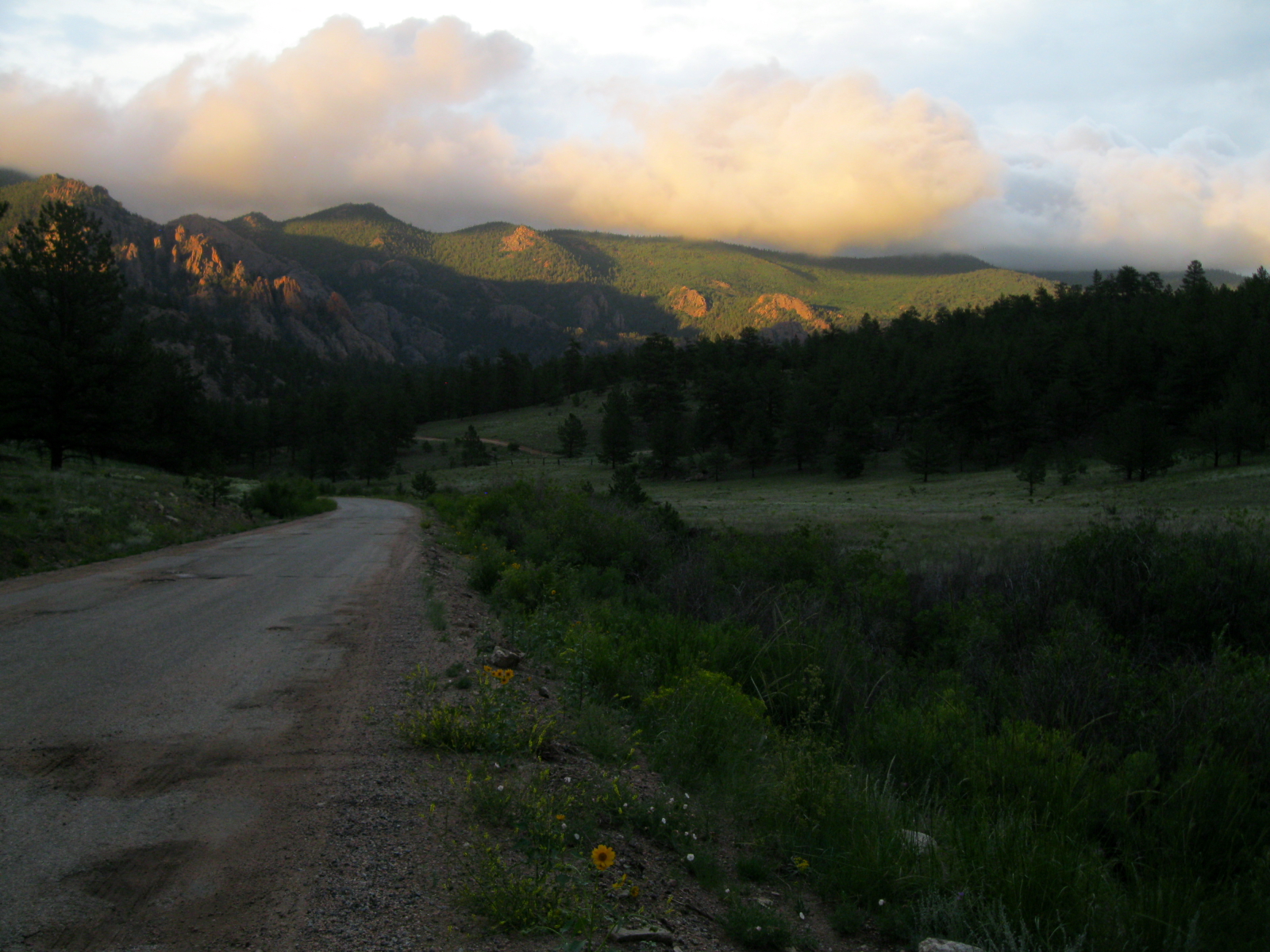
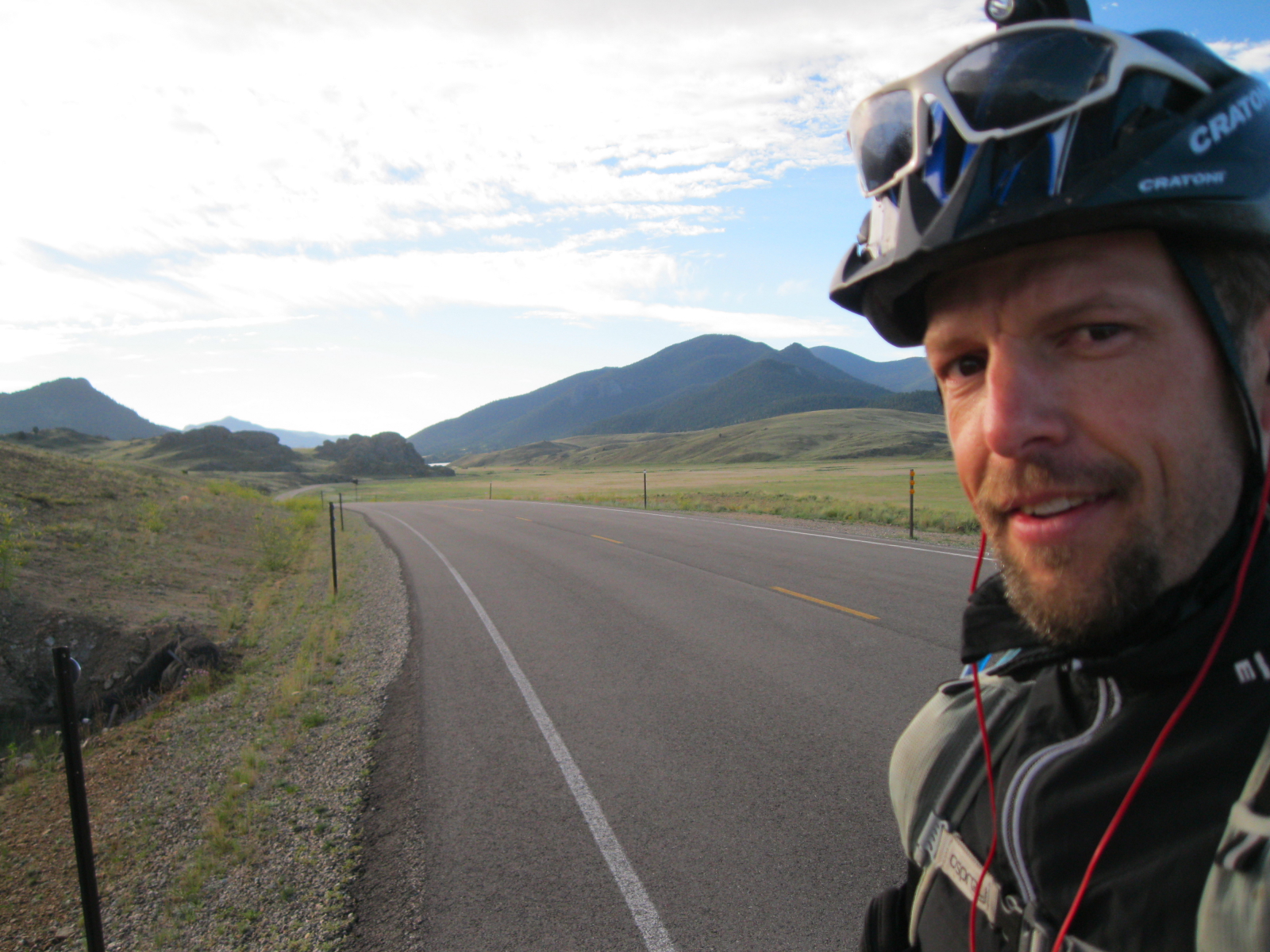
Early morning on Day 2 near the Tarryall reservoir. It was cold out here and my hands were frozen stiff.
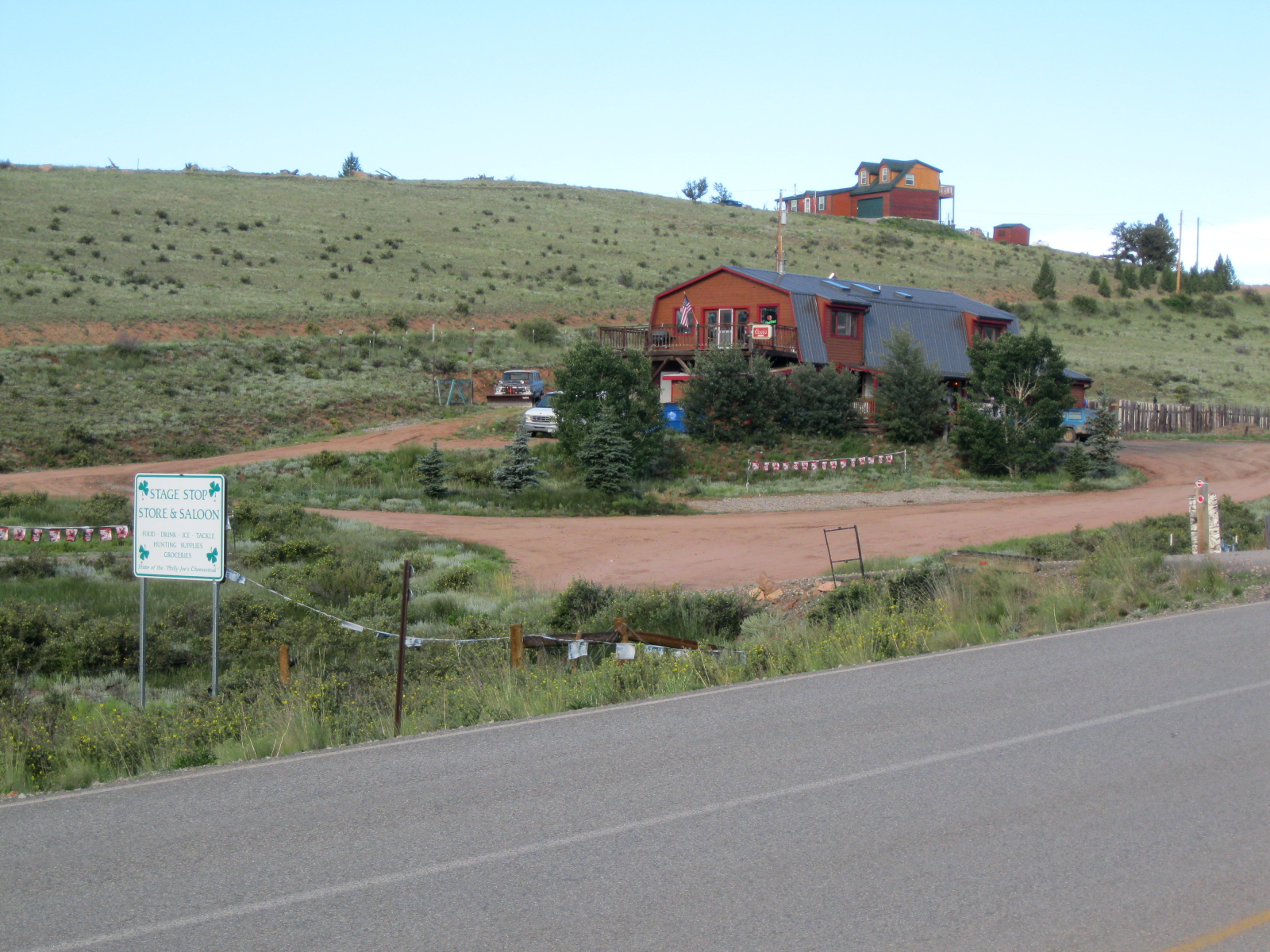
The infamous Stage Stop Saloon. The owner of this place was sitting on his porch and greeted me by name as I pulled in! He had been tracking me on the race website...pretty cool. He opened up his bar for me to get some water, gave me a cup of coffee and we chatted for a bit.
The infamous Stage Stop Saloon. The owner of this place was sitting on his porch and greeted me by name as I pulled in! He had been tracking me on the race website…pretty cool. He opened up his bar for me to get some water, gave me a cup of coffee and we chatted for a bit.
Finally getting closer to the high country near Kenosha Pass. After the 75 mile Tarryall detour I am back on the Colorado Trail here.
Beautiful early afternoon on Georgia Pass

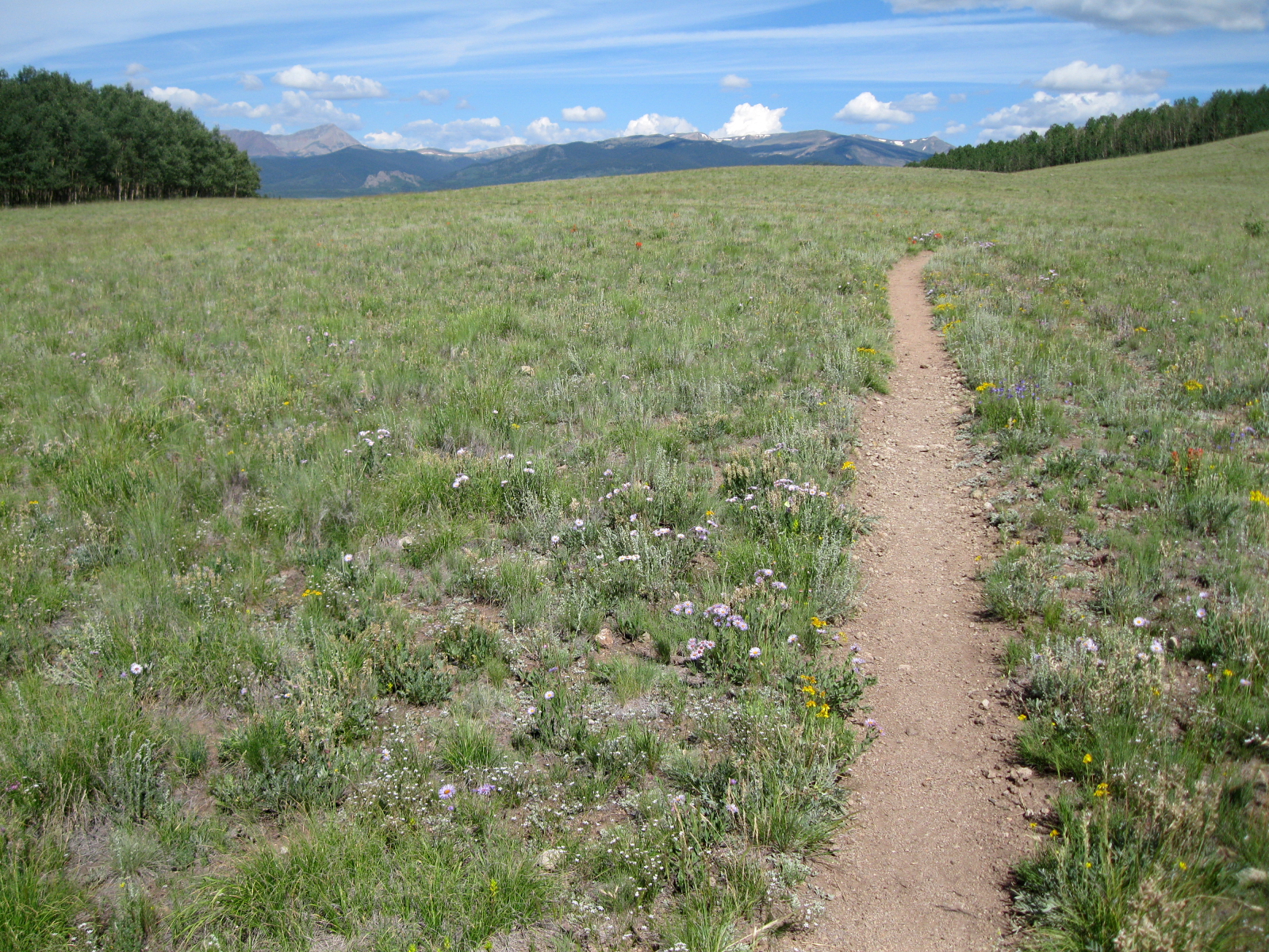
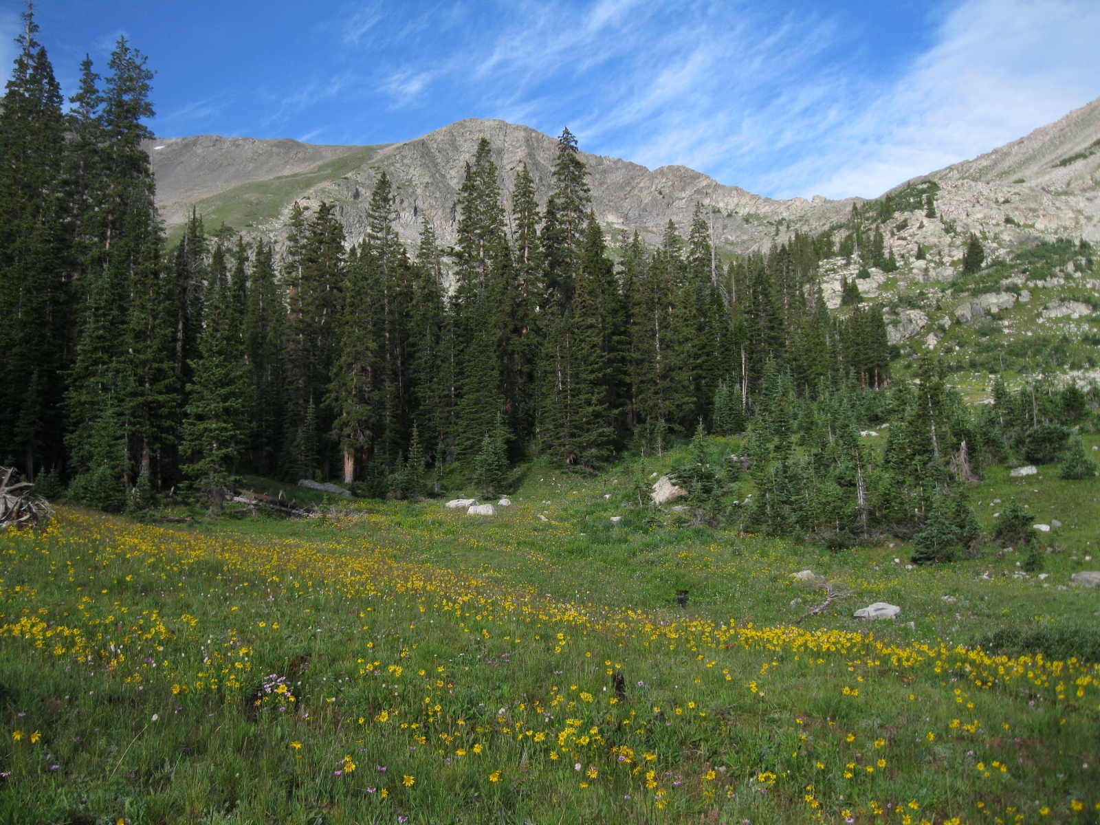
Morning of Day 3 nearing the crest of the Ten Mile Range. Gorgeous wildflowers this year in the mountains.
The brutally-difficult-to-get-to-hike-with-a-bike crest of the Ten Mile Range! This one killed me last year, but I managed pretty well this year and did it an hour faster.
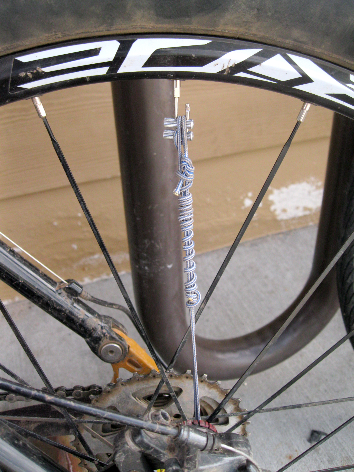
My emergency fix on my broken spoke using my fancy kevlar replacement! One piece of gear in the 'you never want to have to use' category.
My emergency fix on my broken spoke using my fancy kevlar replacement! One piece of gear in the ‘you never want to have to use’ category.
Janet's Cabin tucked into its beautiful mountain hideaway. Part of the 10th Mountain Division hut system.
Janet’s Cabin tucked into its beautiful mountain hideaway. Part of the 10th Mountain Division hut system.
Stormy skies abound atop the Elk Ridge near Kokomo Pass. I didn't linger long as the thunder was booming in all directions.
Stormy skies abound atop the Elk Ridge near Kokomo Pass. I didn’t linger long as the thunder was booming in all directions.
Atop Elk Ridge. This is a great spot that I have now been to three times. It's way above treeline, windswept and full of squeaking Marmots running all over the place.
Atop Elk Ridge. This is a great spot that I have now been to three times. It’s way above treeline, windswept and full of squeaking Marmots running all over the place.
Outside Leadville...beauty!
Outside Leadville…beauty!
Nice camp on Day 3 - one of the only nights it wasn't raining while I set up my tent.
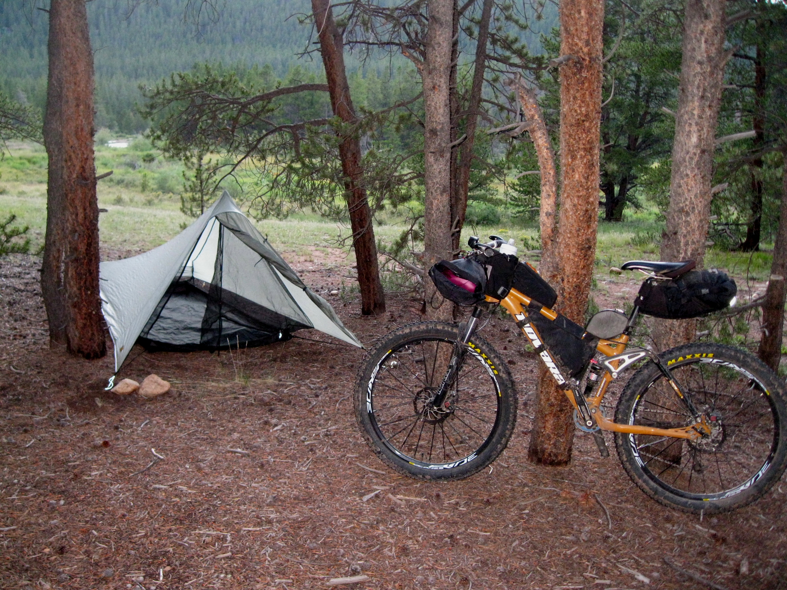
Nice camp on Day 3 – one of the only nights it wasn’t raining while I set up my tent. This is my new tent, the Tarptent Contrail. It was a great piece of ‘comfort’ gear to have.

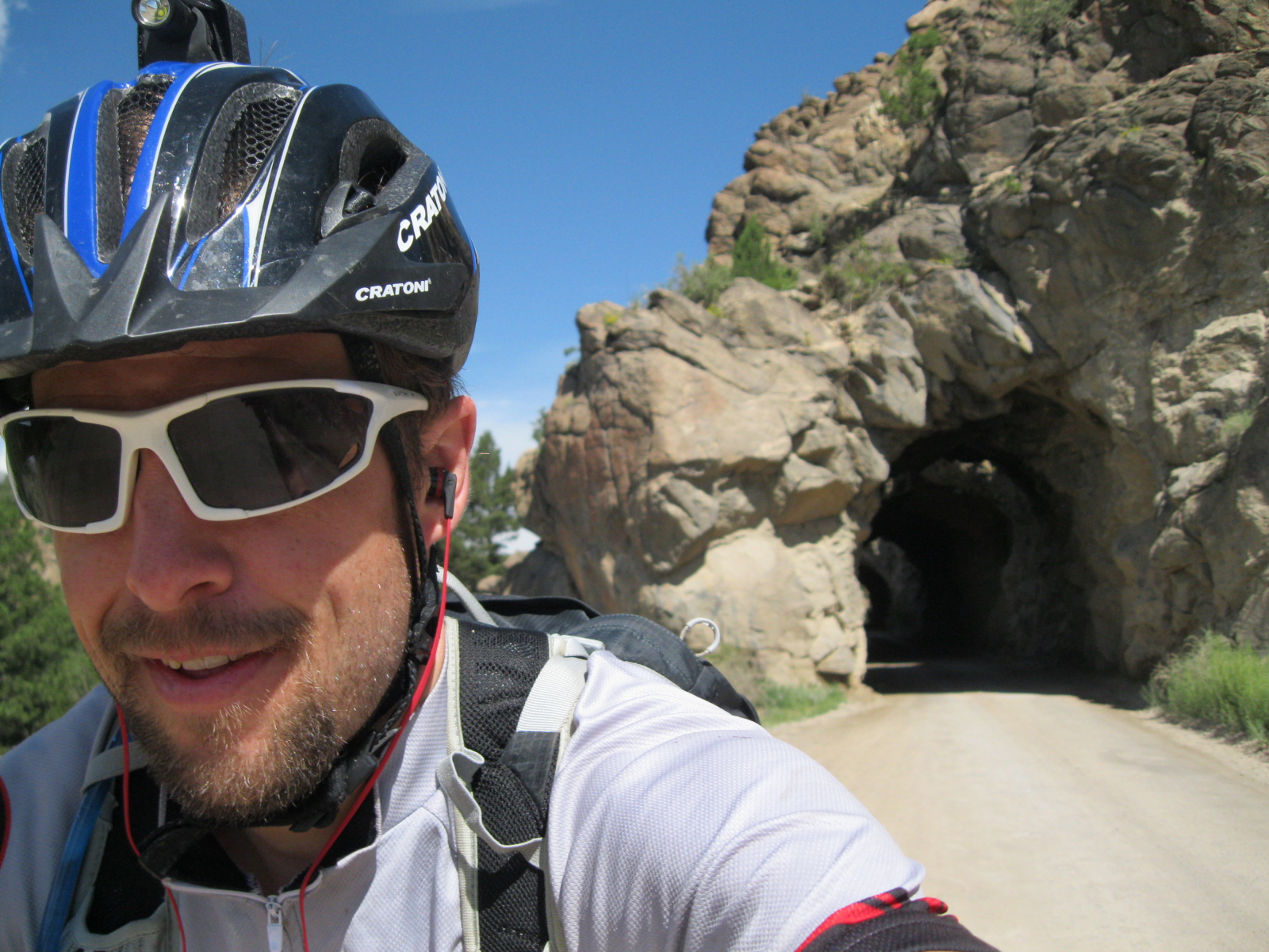
Riding through everyone's favorite railroad tunnels outside BV. I had a tailwind here and was absolutely flying along this road!
Riding through everyone’s favorite railroad tunnels outside BV. I had a tailwind here and was absolutely flying along this road!
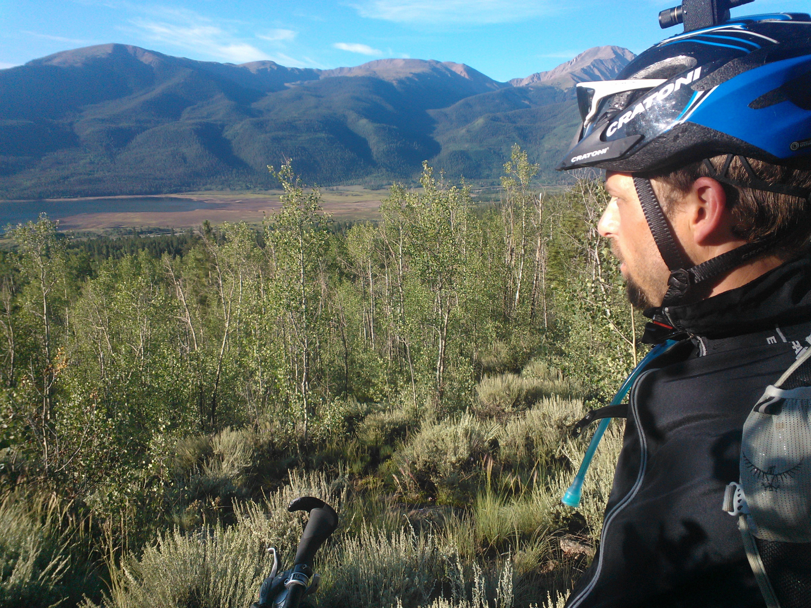
Nice early morning near Twin Lakes...another beautiful spot in the Collegiate Peaks area.
Nice early morning near Twin Lakes…another beautiful spot in the Collegiate Peaks area.
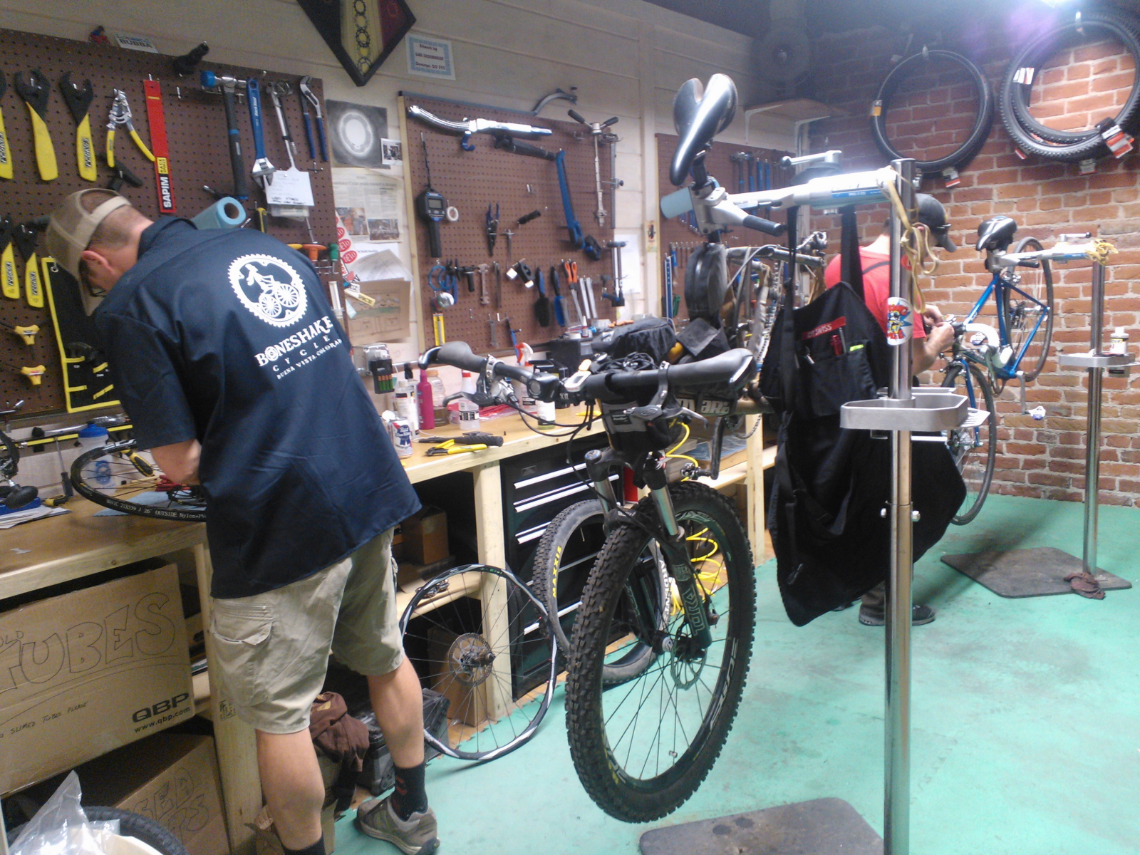
Davin at Boneshaker Cycles fixing my rear wheel using his own wheel. Very good guy who got me back on route taking 2 hours out of his day to do so.
Starting to feel the effects of all this climbing and hiking with the bike. Tough climb here on a misty morning. Good views though of the Chalk cliffs.
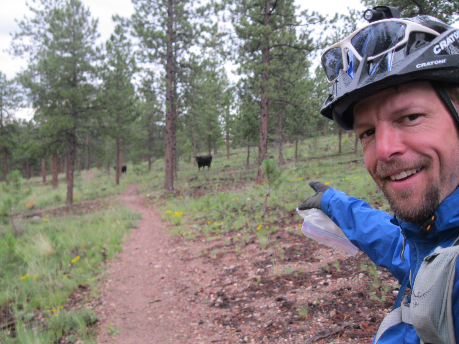
Cows! One thing you just never expect to see in the backcountry...elk, deer, fox, even bear yes. But Cows?! Always make me chuckle.
Cows! One thing you just never expect to see in the backcountry…elk, deer, fox, even bear yes. But Cows?! Always make me chuckle.
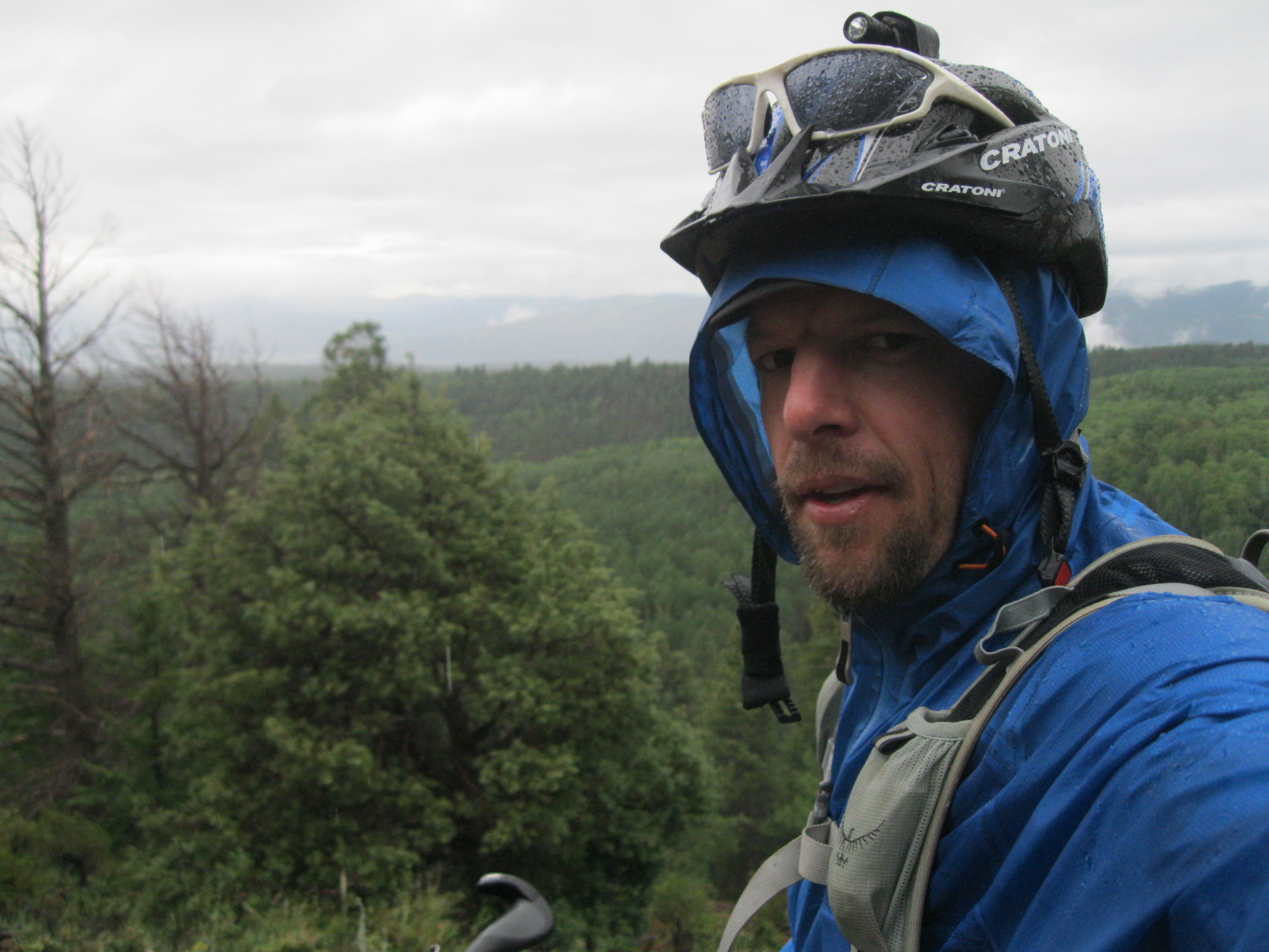
Starting to get wet and cold now. Terrible weather in Segment 14 near Salida.
Officially soaked through and demoralized here. Unsure what to do and where to go, so I just keep moving forward but not for long. I hit US-50 shortly after this pic and decide to go to Gunnison instead.

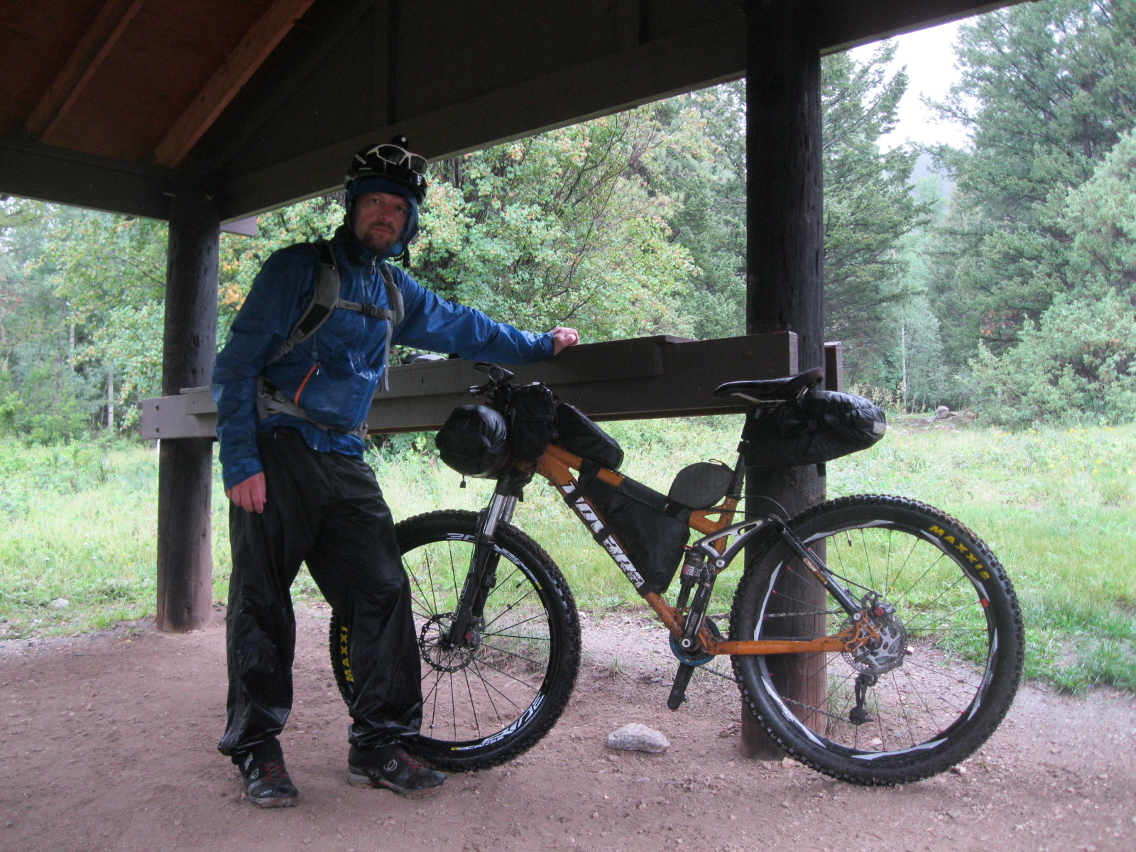
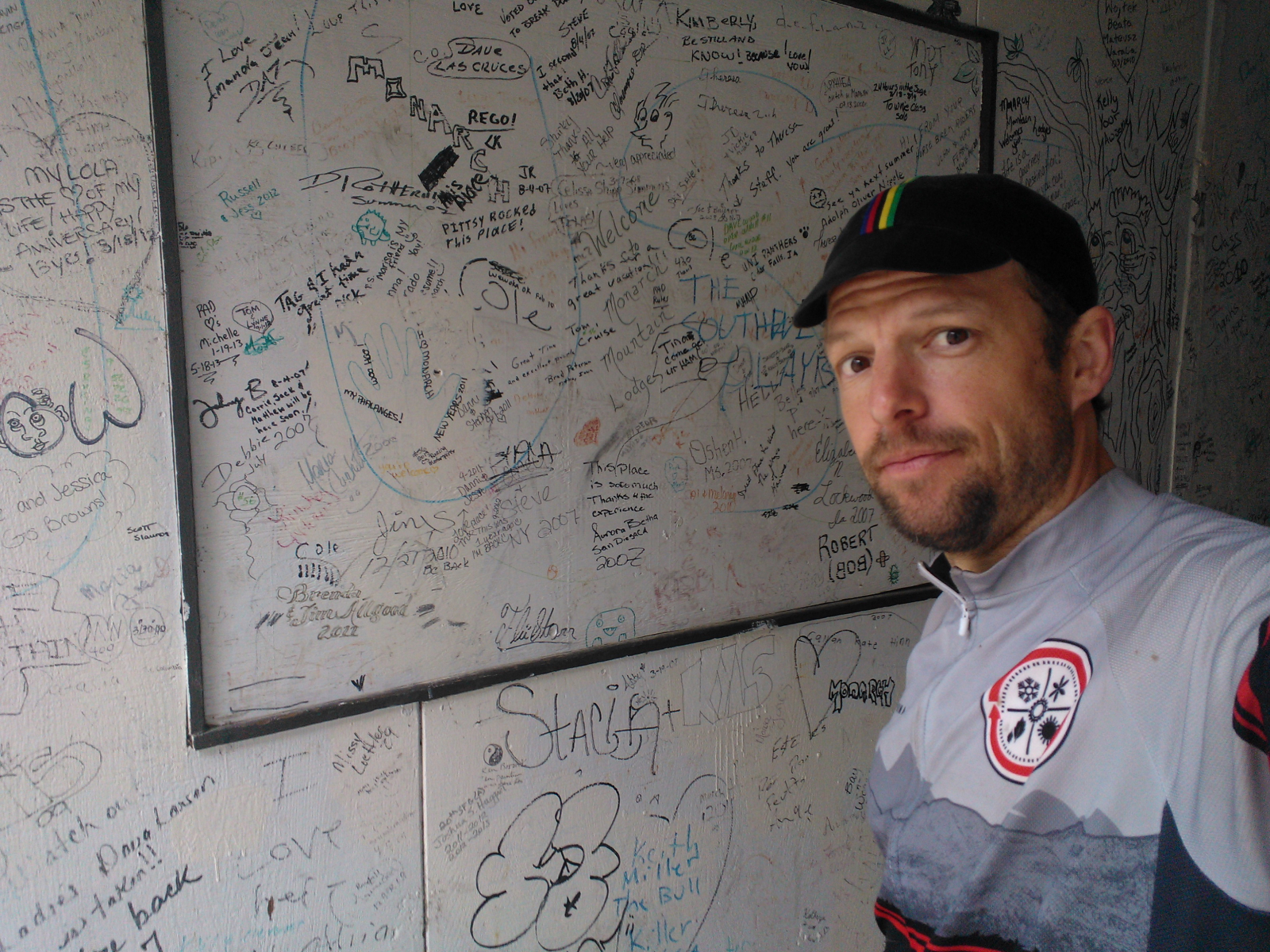
Seeking shelter and trying to warm up in the abandoned Monarch Mountain Lodge.

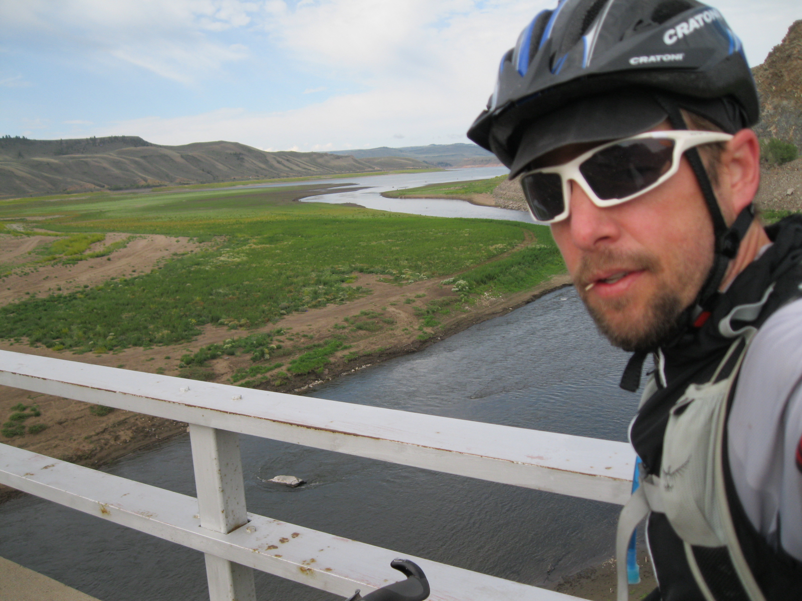
Nice view of the Gunnison River on the beginning of Day 5.
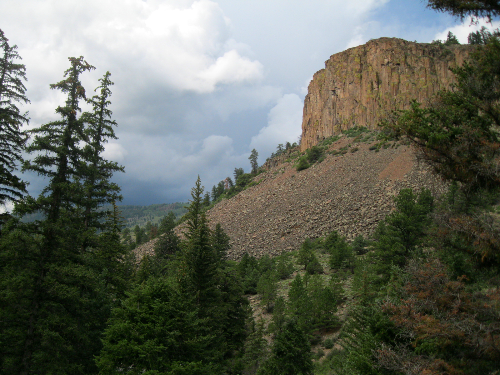
Storms and cliffs outside Lake City. The routine of the afternoon storms was amazing, like clockwork every day and night. Bad weather is certainly more exciting than clear blue skies, but more demanding to deal with for sure.
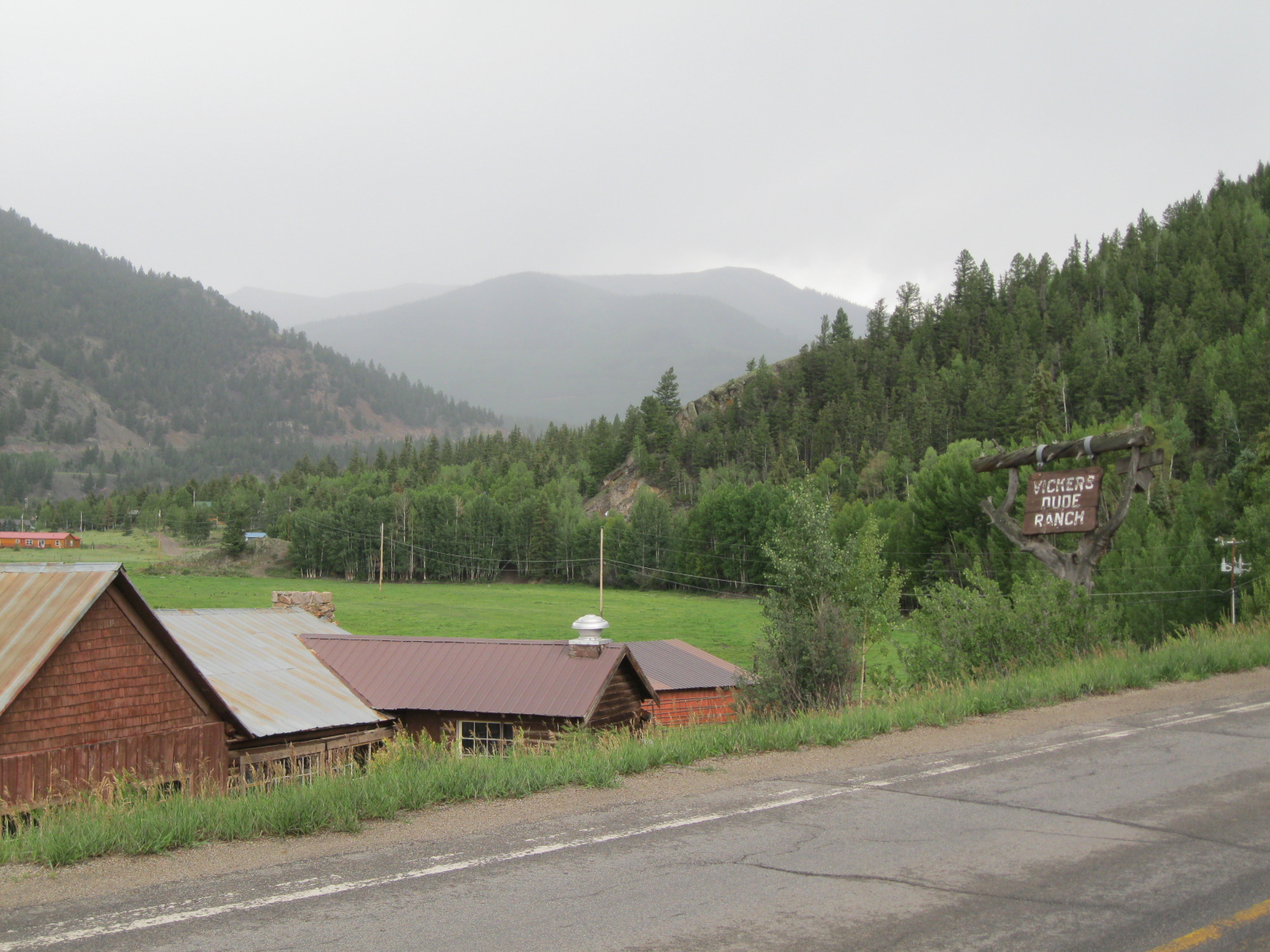
Anyone for the Vickers 'Nude' Ranch?
Anyone for the Vickers ‘Nude’ Ranch?
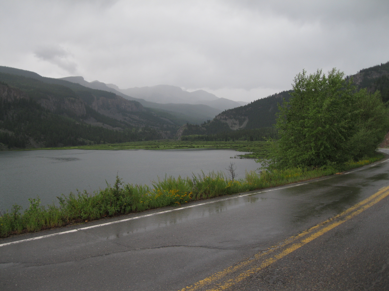
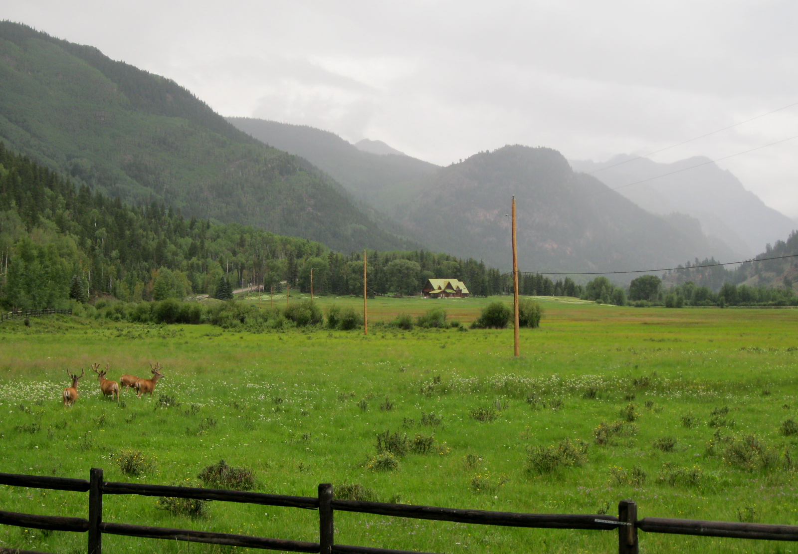
Another rainy evening on Day 5 outside Lake City. But it was quiet and peaceful out here, and peaks hiding in the fog and mist was very pretty.
Another rainy evening on Day 5 outside Lake City. But it was quiet and peaceful out here, and the peaks hiding in the fog and mist was very pretty.
So green! So much rain! Beautiful valley here along Lake San Cristobal.
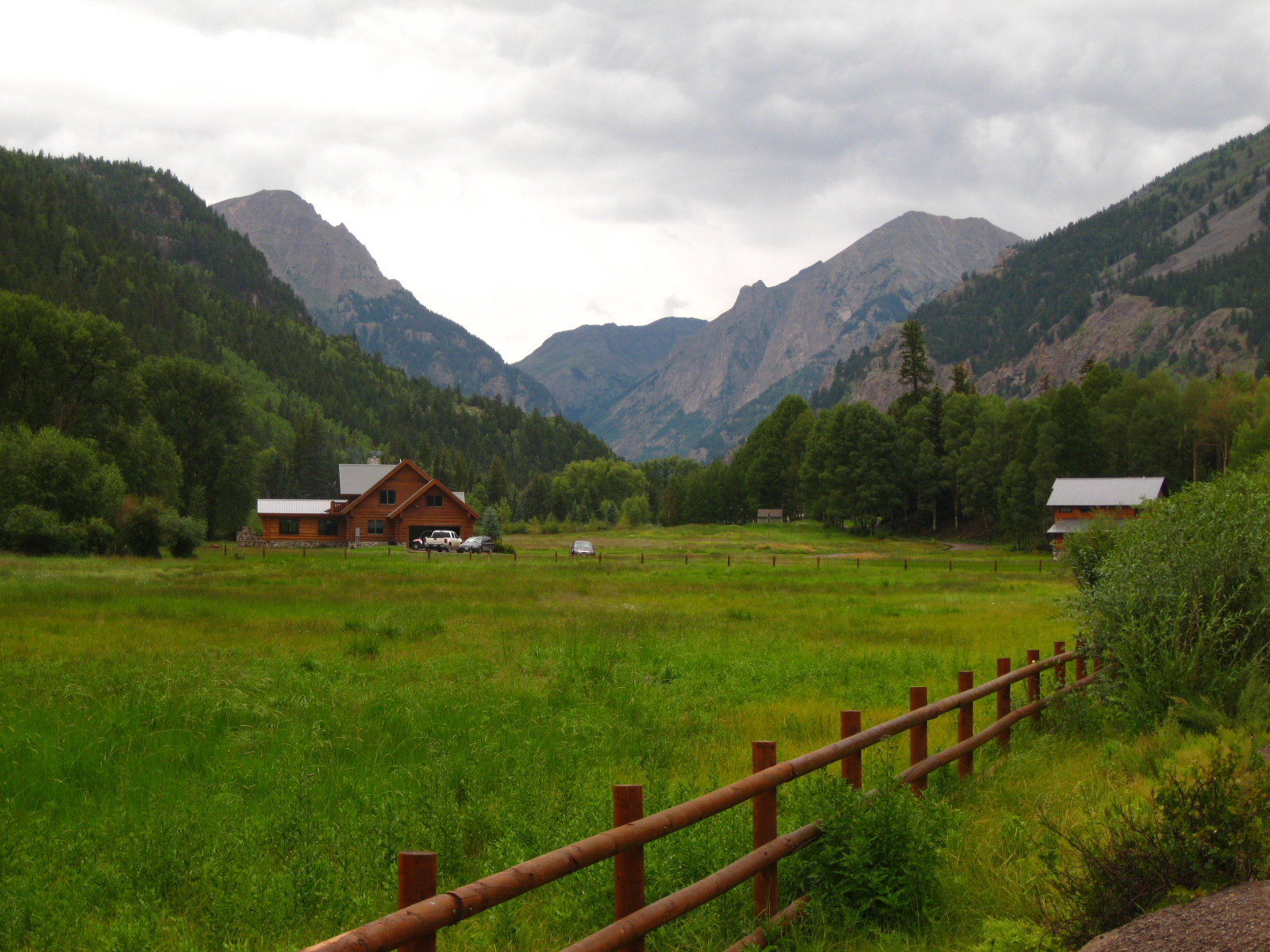
Why don't I live here? Spectacular cabin here outside Lake City nearing the Cinnamon Pass road.
Why don’t I live here? Spectacular cabin here outside Lake City nearing the Cinnamon Pass road.
End of Day 6 and muddy! I camped here high above Cottonwood Creek which was running pretty high. Made for a peaceful camp, but rained all night again.

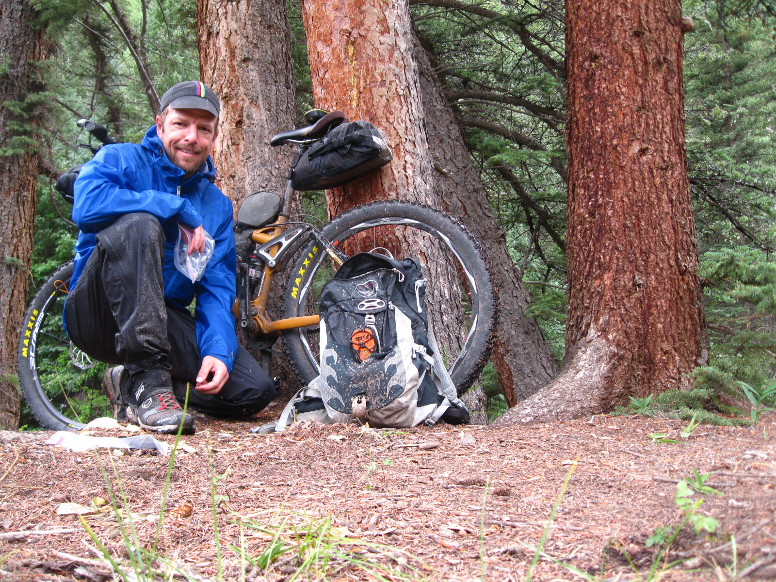
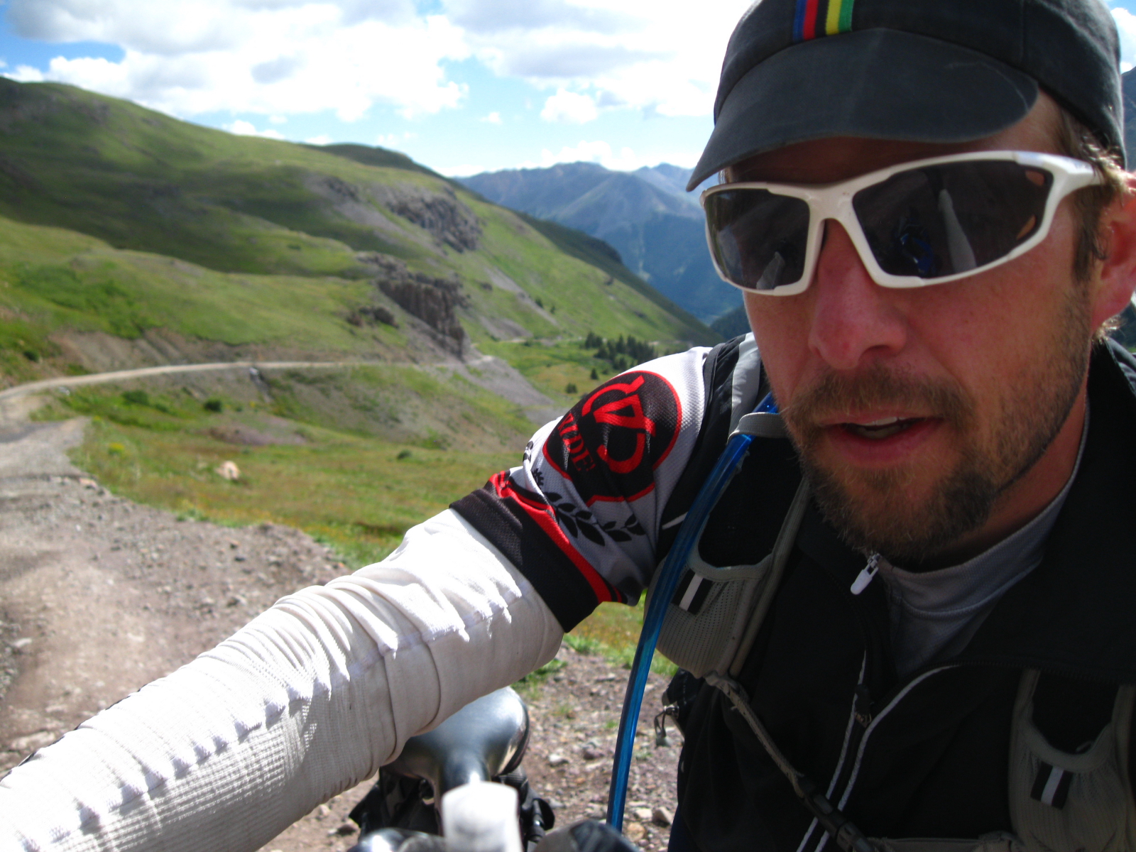
Early morning on the Cinnamon Pass road and cold, cold, cold! Man it was nice to see the sun here.
Early morning on Day 7 on the Cinnamon Pass road and cold, cold, cold! Man it was nice to see the sun here.
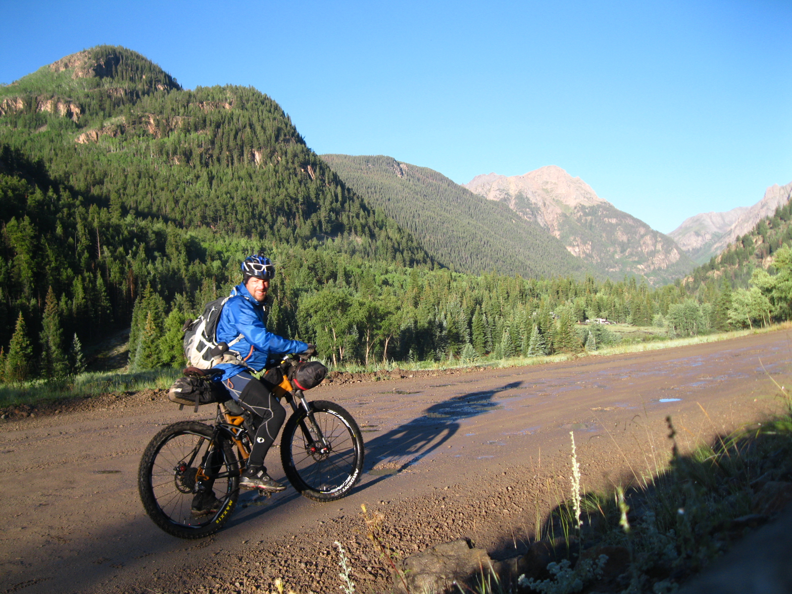
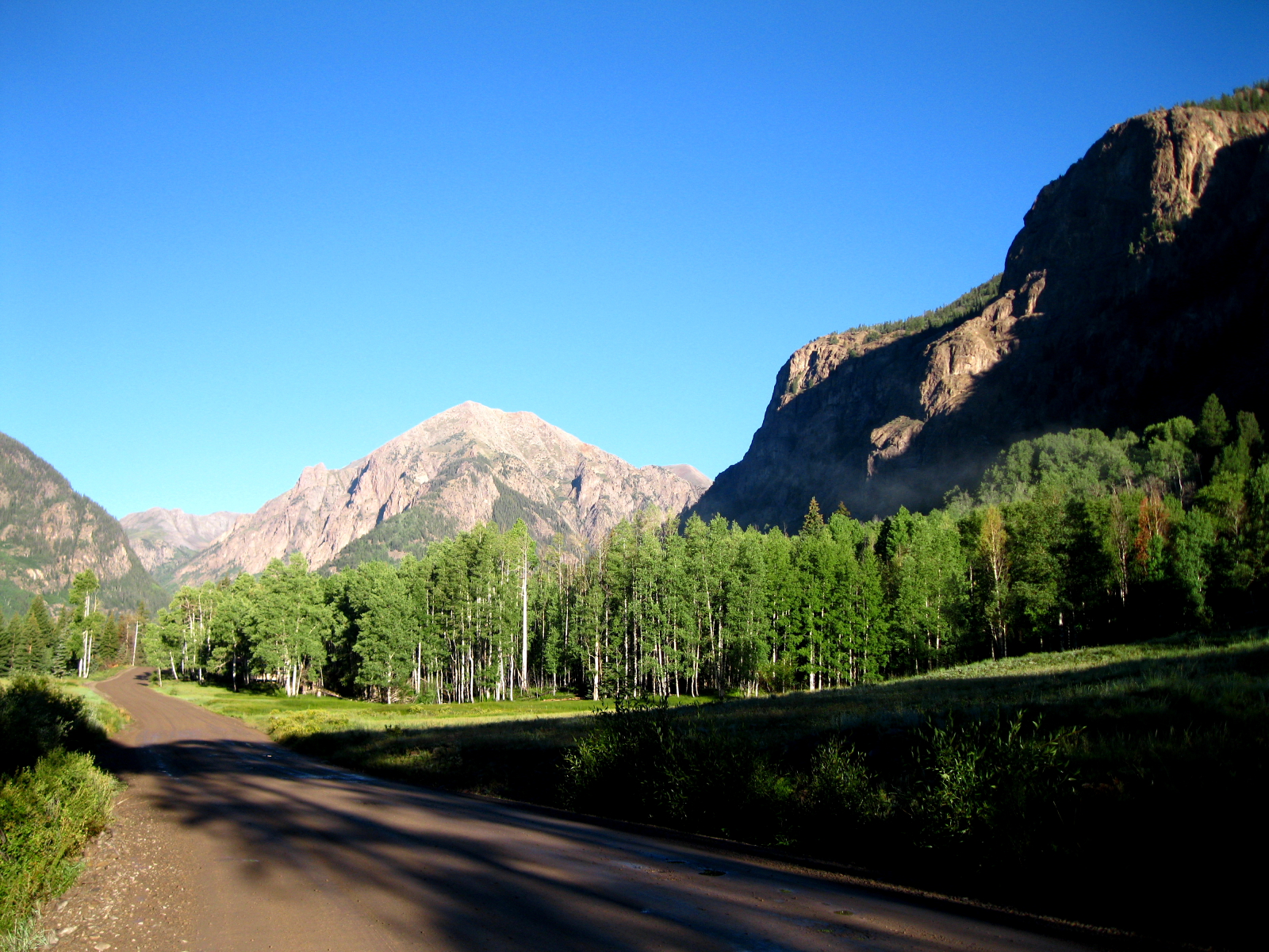
Classic early morning blue bird day with big 14ers in the distance.
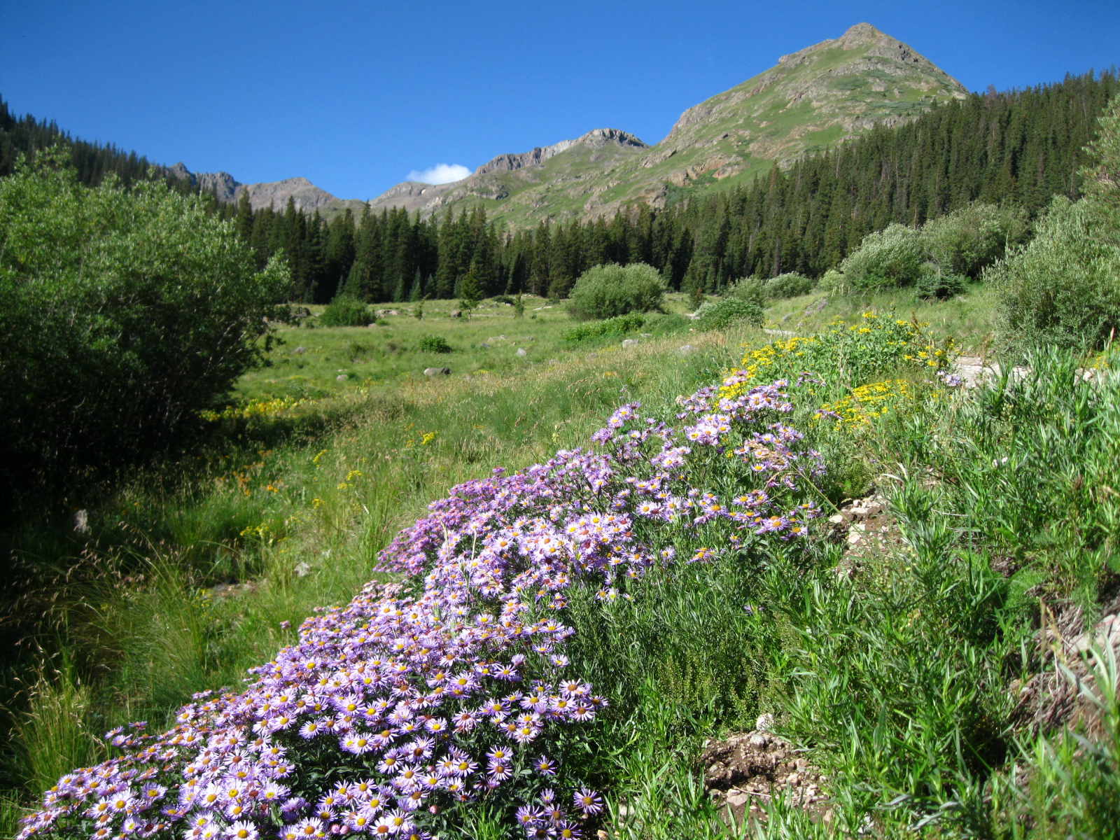
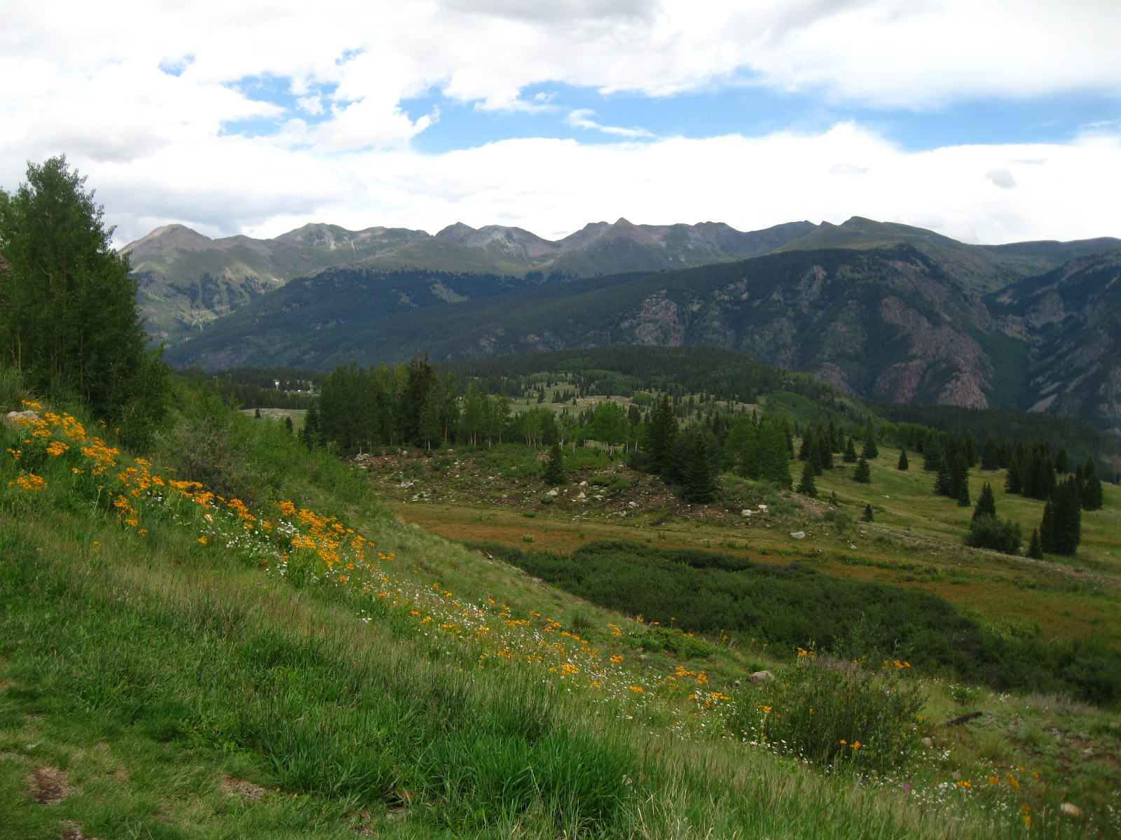
More beautiful wildflowers climbing up Cinnamon Pass.
Nearing the top of a long climb up to Cinnamon Pass, all I could think of for most of the hike on the last couple of miles (can see the road behind me) was Neil Young and 'Cinnamon Girl'!
Nearing the top of a long climb up to Cinnamon Pass, all I could think of for most of the hike on the last couple of miles (can see the road behind me) was Neil Young and ‘Cinnamon Girl’!
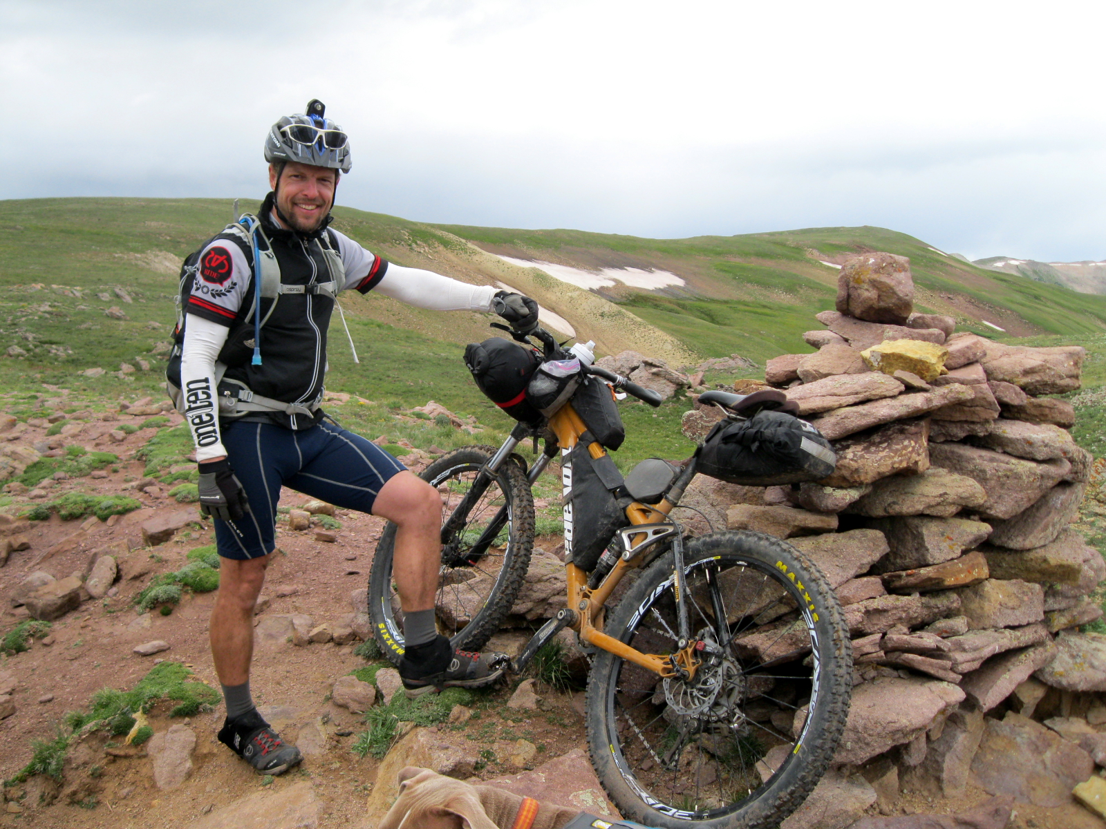
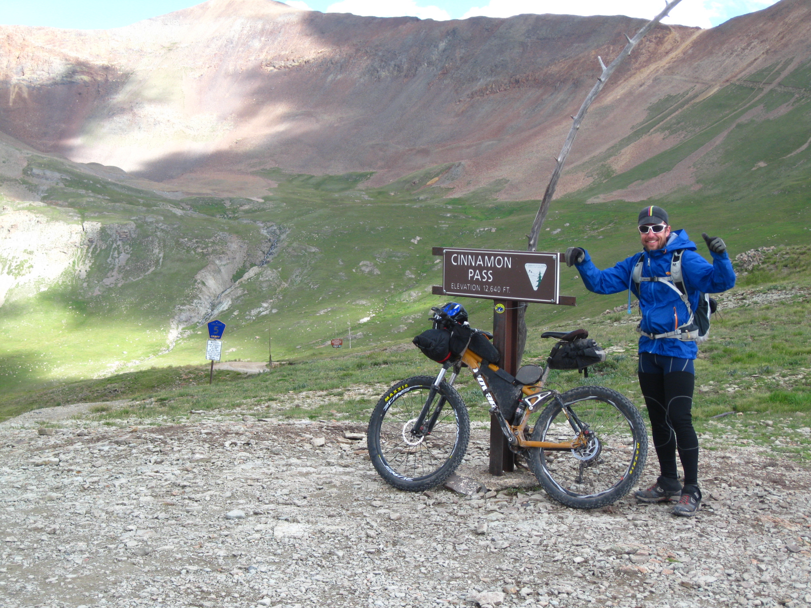
High Point of the trip at 12,600 feet. Couple guys on big loaded up dirt bikes took this photo. They were traveling the Trans America trail, dirt roads from N. Carolina to Oregon.
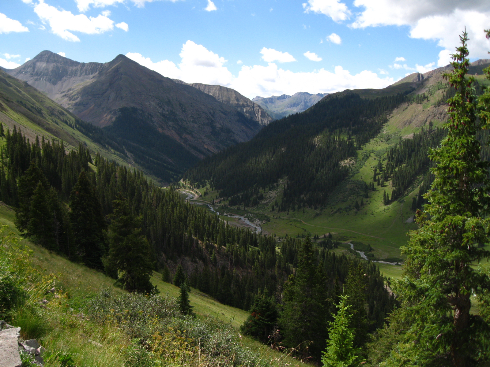
Big mountain country in the Animas River valley looking toward Silverton. The descent was fast and furious.
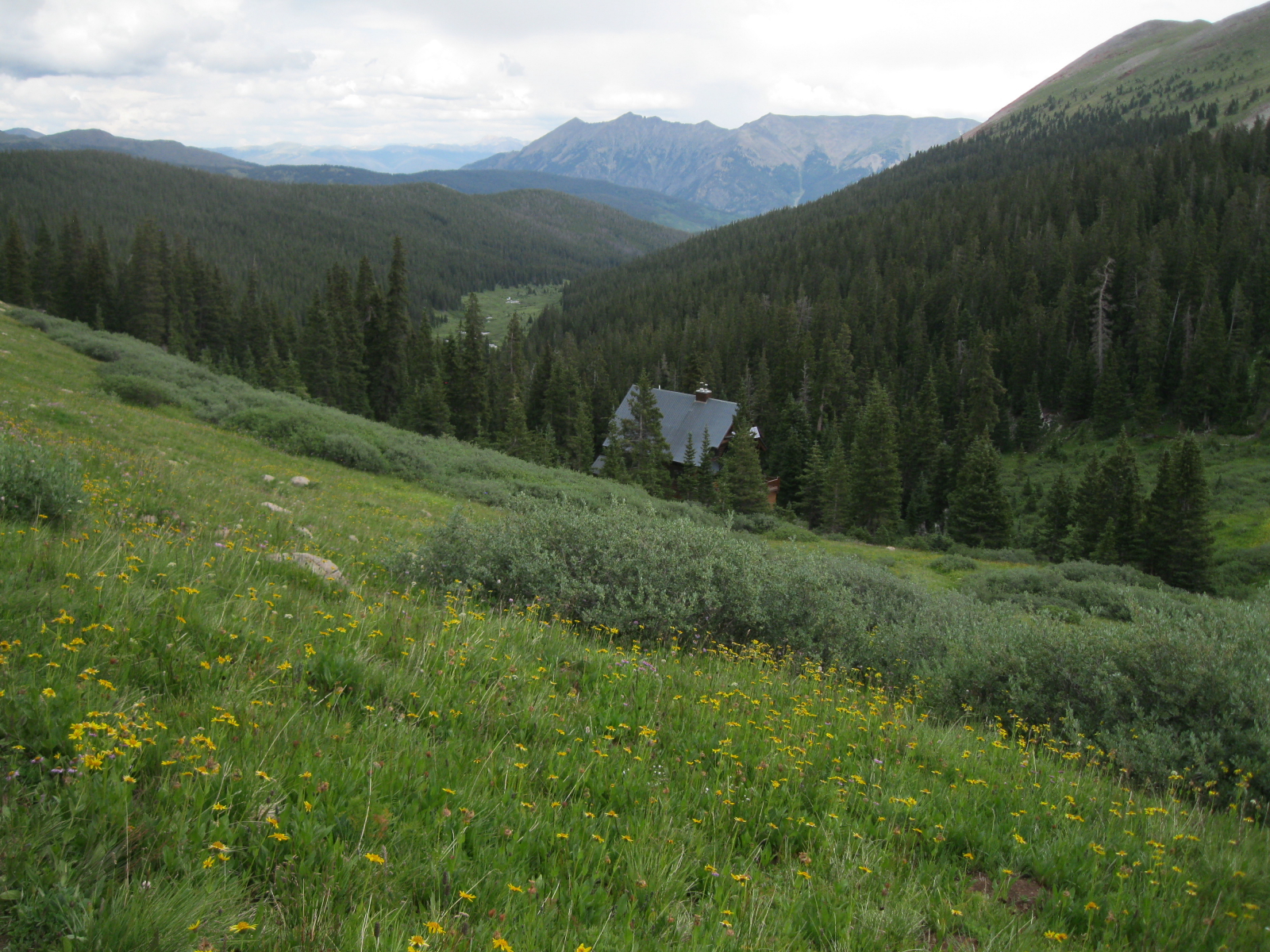
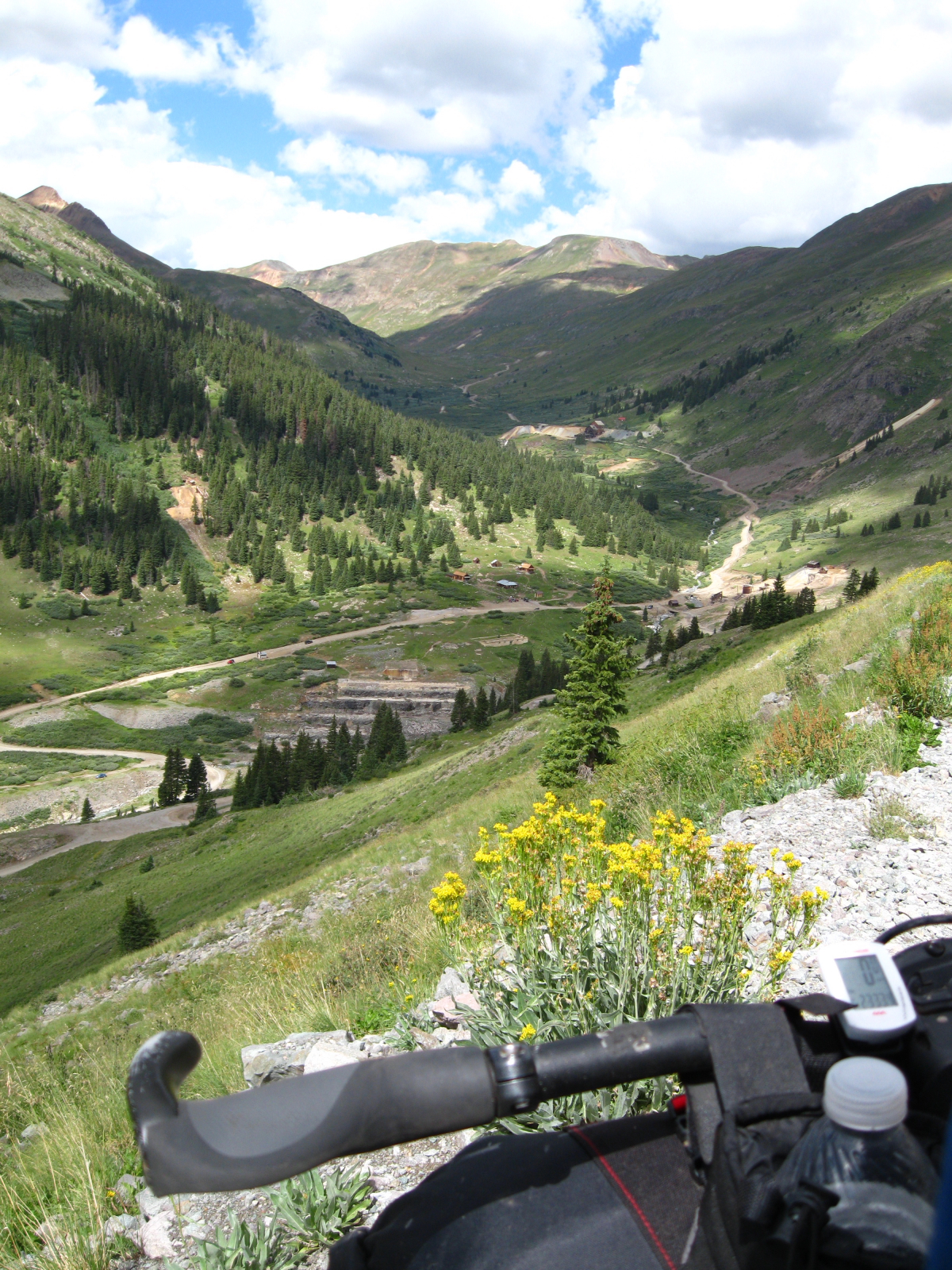
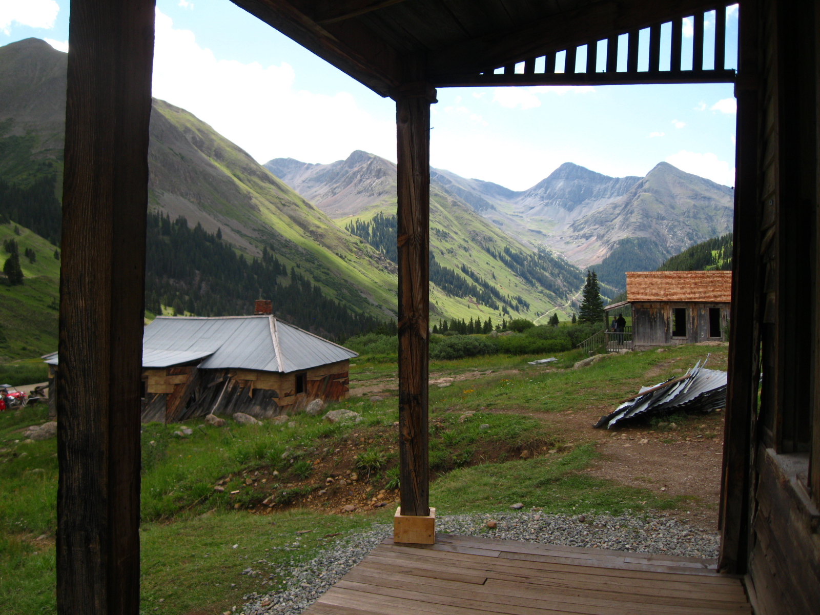
Looking out high above the old mining ghost town of Animas Forks.
Year round homes of some seriously hardy 19th century miners. Above treeline, so far from any help, all but cut off in the winter...impressive acts to follow.
Year round homes of some seriously hardy 19th century miners. Above treeline, so far from any help, all but cut off in the winter…impressive acts to follow. There is something awfully inspiring about those old pioneers that blazed trails and narrow-gauge railroads into these big mountains.
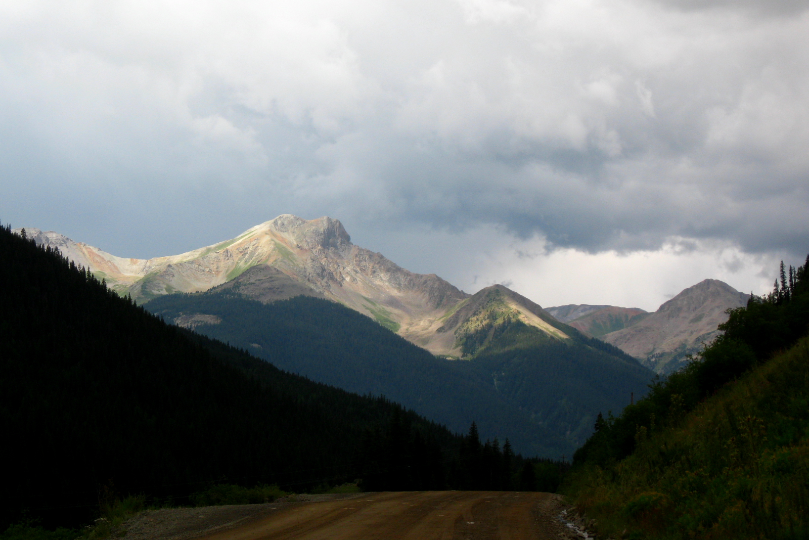
Setting sun on 14ers above Silverton before the skies opened up and drenched me yet again, with pea-sized hail mixed in this time!
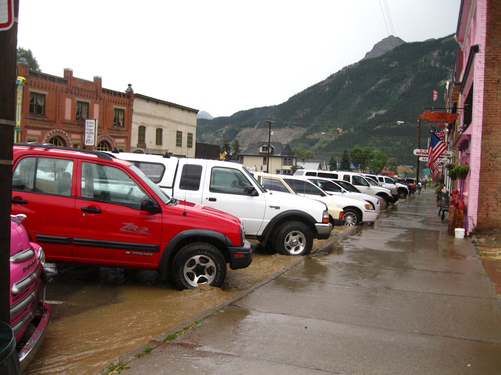
The result of an impressive downpour and hailstorm that caught me full in its fury. I was only a mile or so from town...so close!
The result of an impressive downpour and hailstorm that caught me full in its fury. I was only a mile or so from town…so close!
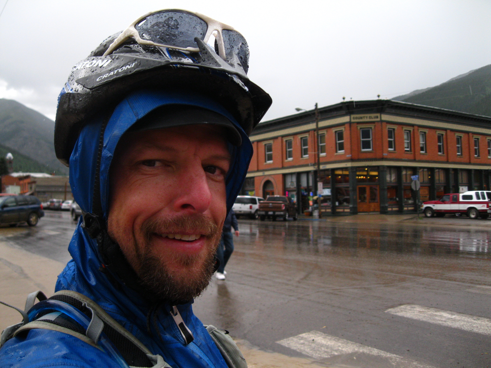
Soaked again! But at least I was in town and able to get into a restaurant to dry off a bit and have about 10 cups of coffee!
Only 50 miles left!
450 down, only 50 miles left!
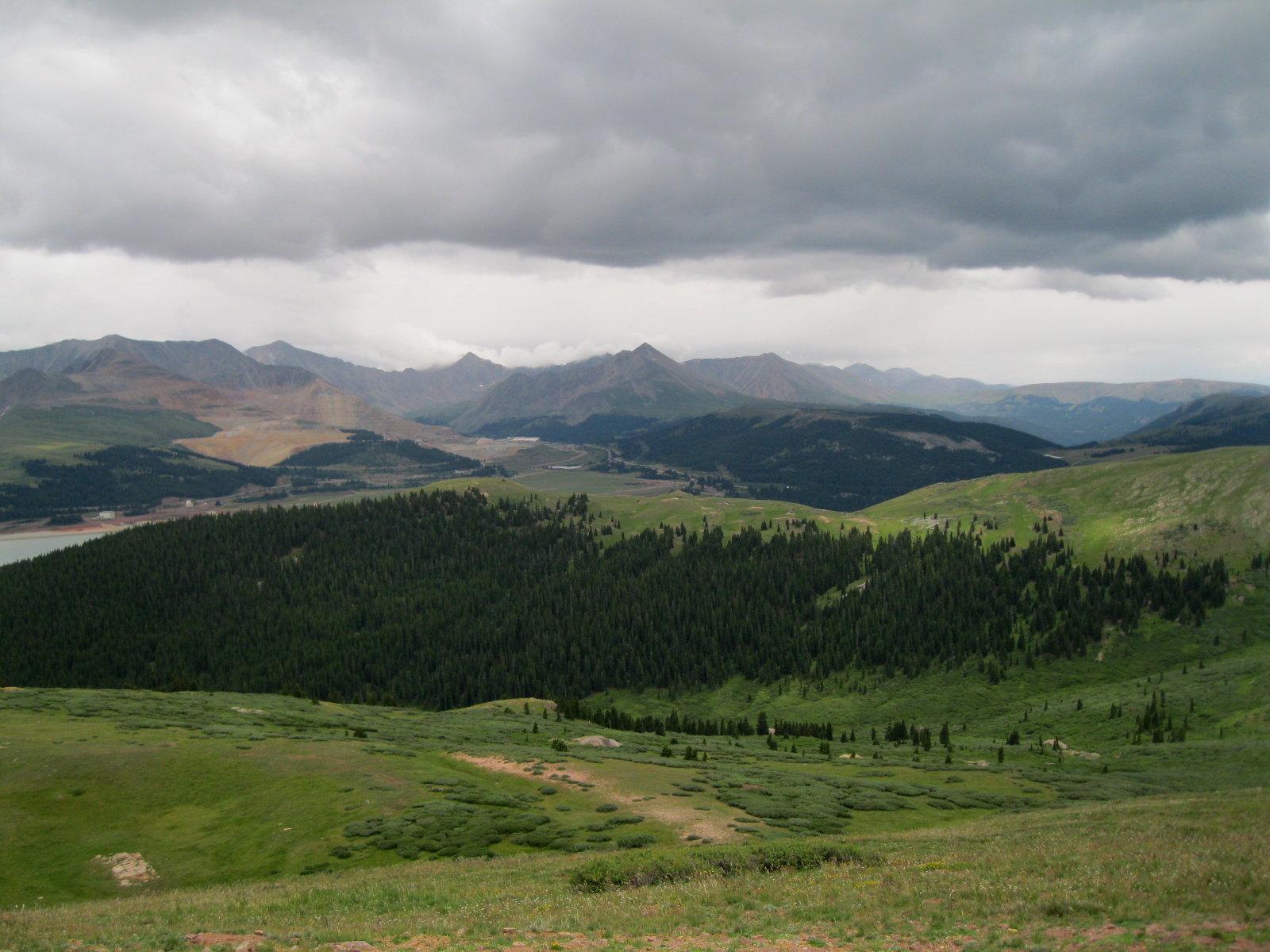
The beautiful San Juan range in southwestern Colorado.
A little friend I picked up along the way...
A little friend I picked up along the way on the side of the road 🙂
Getting a beer in Durango after 500 miles in 7 days.
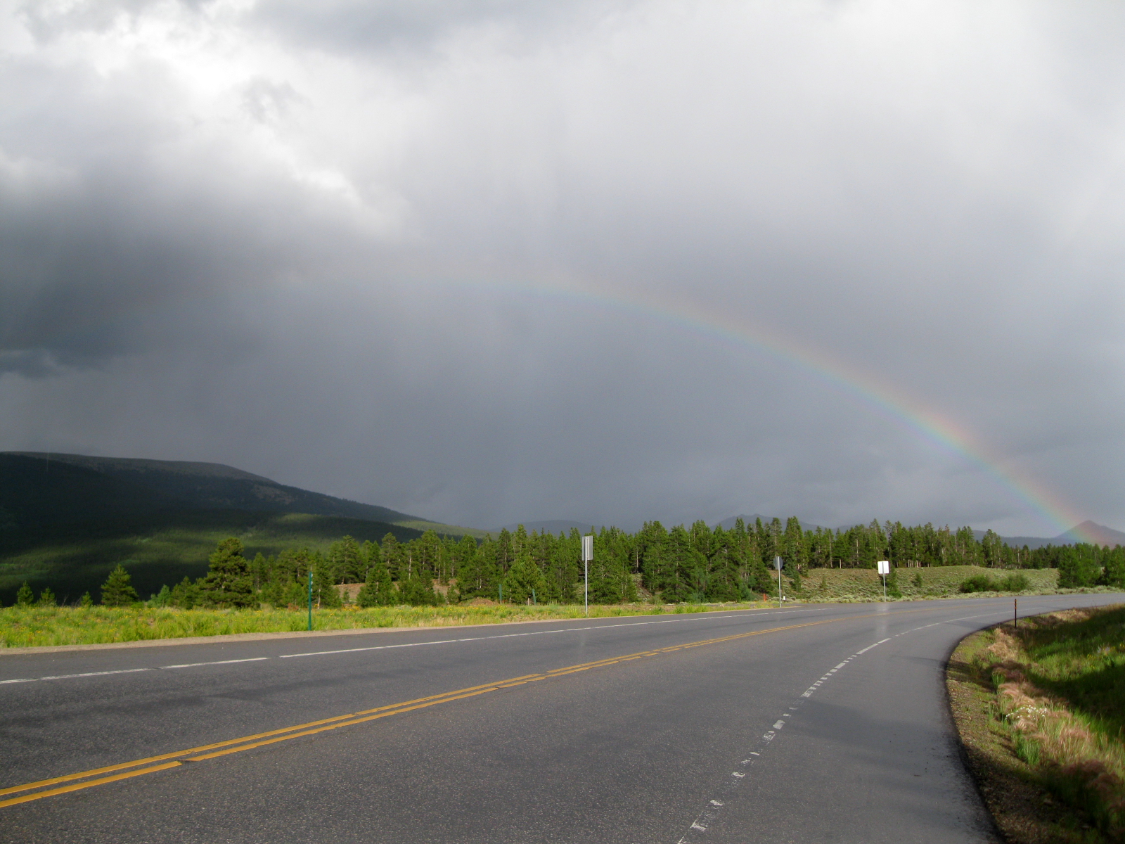
Weather on the drive home at the top of Wolf Creek Pass. Wild weather in the Rockies during the week I was out!

Hard to put into words exactly what this trip meant to me. It’s certainly not as glorious as it might look, or as I thought it might be…at the end of the day it’s cold and wet and lonely out there, and you’re sore and tired every morning, and sick of storms and cold food and wet gear. But every day I realized the incredible opportunity I have to be able to head out and live this kind of adventure in the big mountain country here in Colorado. It makes you realize how much we take for granted in our day to day lives: simple, yet incredibly vital things like shelter, running water, electricity, soft beds, heat. I stand inside the house now looking out the windows at the big storms rolling through and I get the chills thinking about my cold, dark, wet camps every night out there.

It’s a beautiful country though and any misery I may have suffered was all self-inflicted, and in some ways, to be expected. You don’t travel any sizable distance through the Rocky Mountains without experiencing Mother Nature at her most extreme. I was always praying for clear skies (and I got a few hours most days) but the storms make things awfully exciting.

Thanks to Wendy for all the support and for taking care of the kids and the dog and her job and the house and the bills…you made a dream of mine come true!

I tell myself that I won’t do this race again, two failed attempts at following the CT the full length. But this year was a success in more ways than I expected and I feel like I can finish the rest of the CT on my own some day.

But there are some pretty cool multi-day races popping up in places like northern Scotland and Israel and South Africa…hmmm 🙂

CTR 2013 Food

Here is my food plan for this years CTR attempt.

With the Tarryall detour this year, there will be no resupply option in Bailey. So I will carry two days of food from the start, refuel in Copper for one day of riding and then pickup previously mailed box with 4 days worth of food in Buena Vista to get me to Silverton where I will buy another day’s worth of food. Seems easy.

So in all I will be pre-packing 6 days worth of food – 4 of which will be shipped General Delivery to Buena Vista.

One day of food will look something like this:

– 6 ‘meals’ or ‘snacks’ a day

– 115 Calories/oz

– 2.8 lbs of food

– 5,200 Calories total (2400 from Carbs, rest from fat)

Where’s the coffee you ask? Yeah, I’ll be asking the same thing on Day 2!

Food Calories Carbs Calories Per Meal
Kind Bar 220kcal 17gm
Larabar 200kcal 23gm
Justins Nut Butterr 210kcal 8gm
Honey Gel 120kcal 29gm 750kcal
Tortilla 110kcal 19gm
Tuna Pouch in Oil 190kcal 0gm
Goldfish 420kcal 60gm 720kcal
Honey Stinger Waffle 160kcal 21gm
Honey Stinger Chews 160kcal 39gm
Justins Candy Bar 280kcal ??
Skratch Drink Mix 150kcal ?? 770kcal
Granola 400kcal 54gm
Whole Milk Powder 150kcal 13gm
Nut Butter 210kcal 8gm 760kcal
Nutella & PB Sandwich 500kcal 22gm
Hostess Apple Pie 500kcal 55gm 1000kcal
Trail Mix 700kcal ??
Chocolate Croissant 500kcal ?? 1200kcal

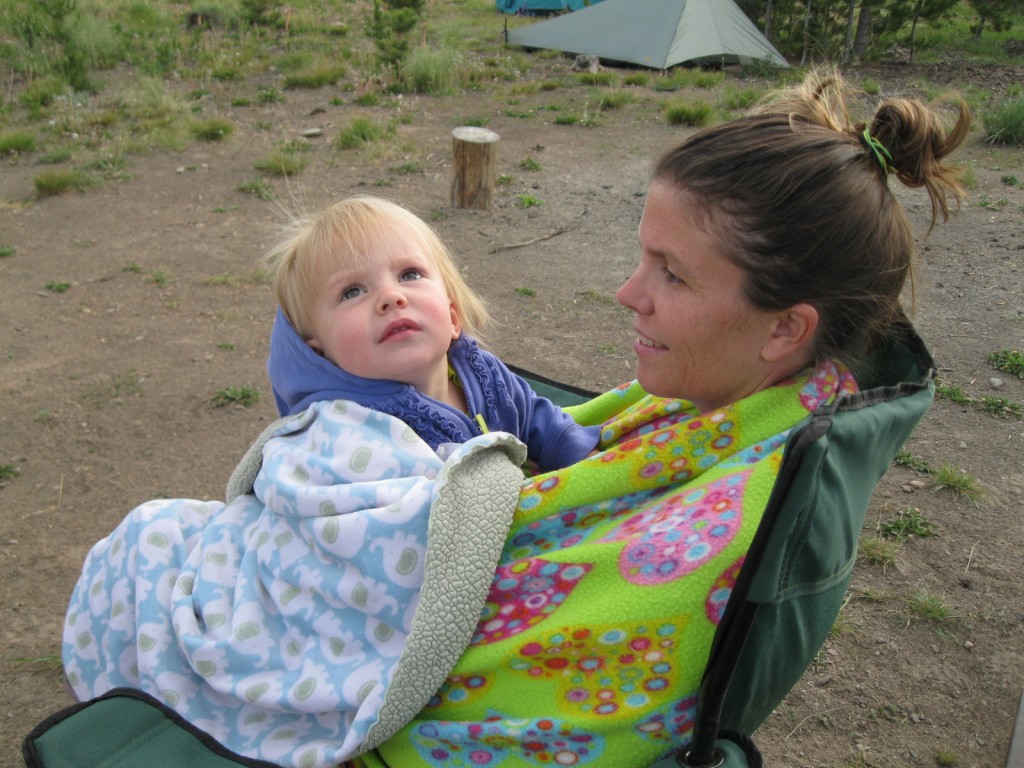
Keystone & Copper in our new Camper

Some pictures from our first ever pop-up camper trip as a family.

I rode in a mtn bike race on Saturday at Keystone, and Wendy ran a half marathon on Sunday at Copper. Since my race took 7.5 hours I have Wendy to thank for watching the girls all day!
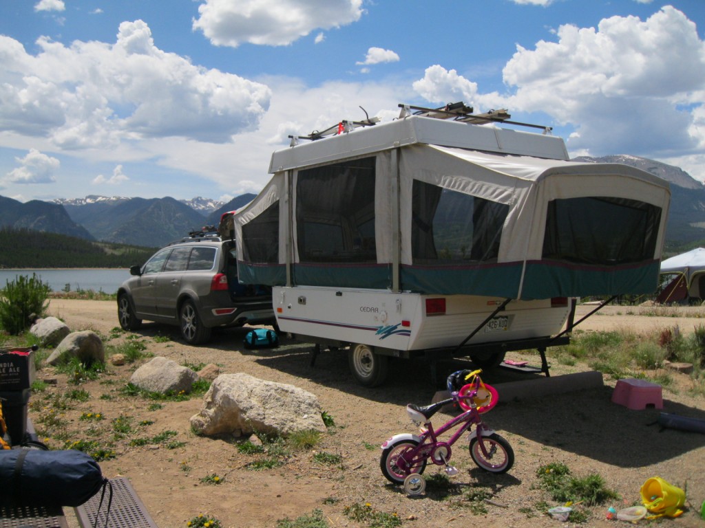
The camper in action!
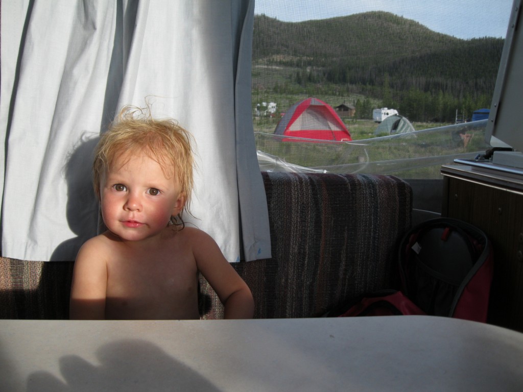
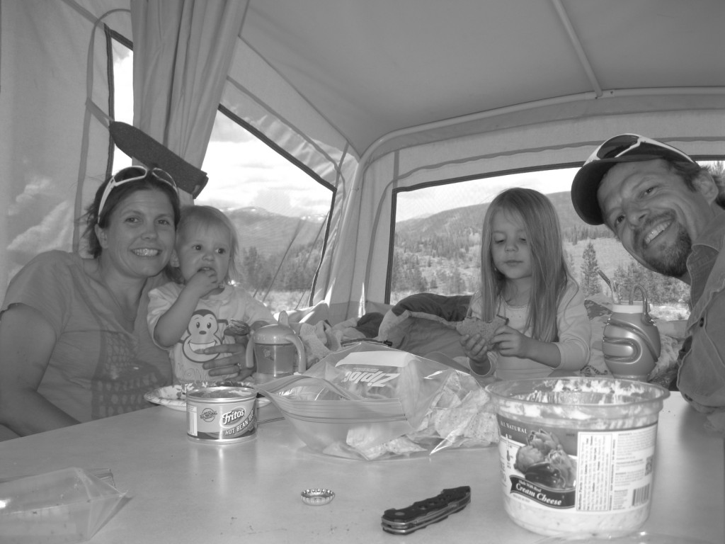
Hanging out inside
Hanging out inside
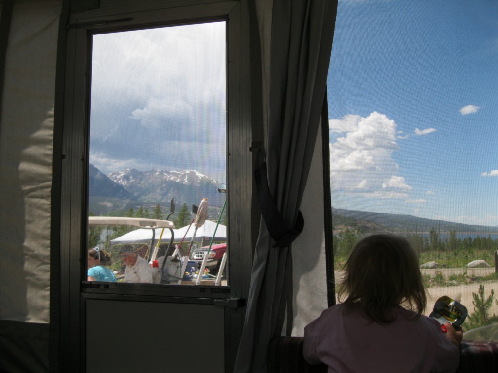
Ava taking in the scenery from inside

IMG_0865

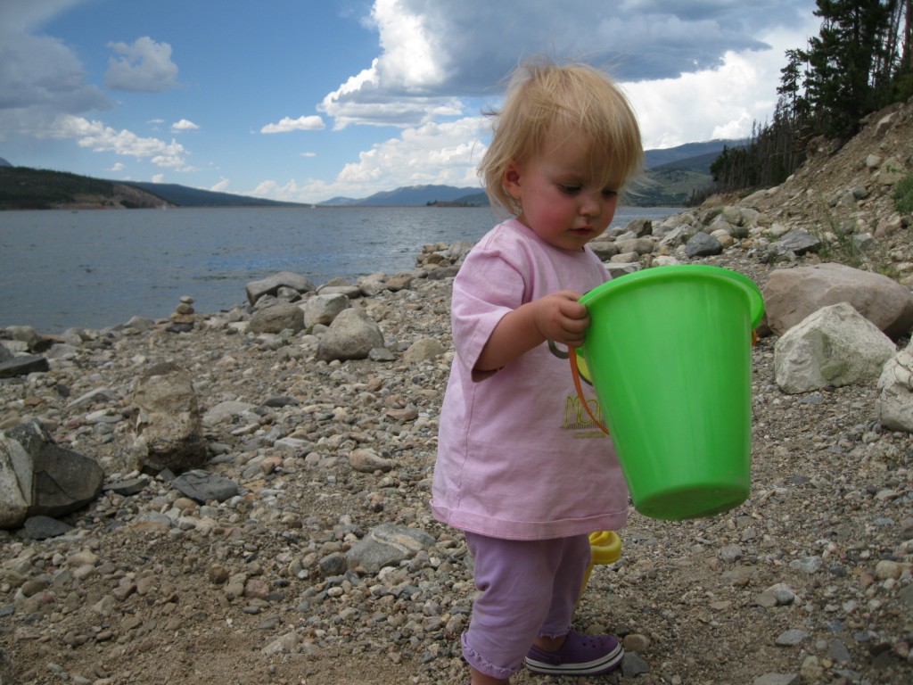
Playing down at the lake

IMG_0876IMG_0878IMG_0882

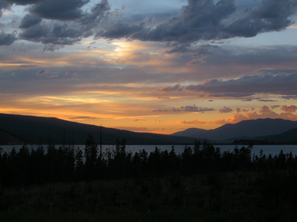
Beautiful sunset prior to a very cold night
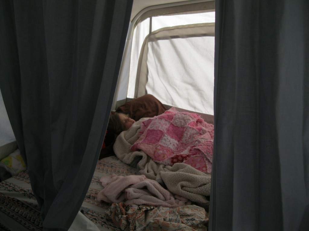
Peaceful sleeping in the morning after a tough night getting everyone to sleep!
Ava checking out something in the sky
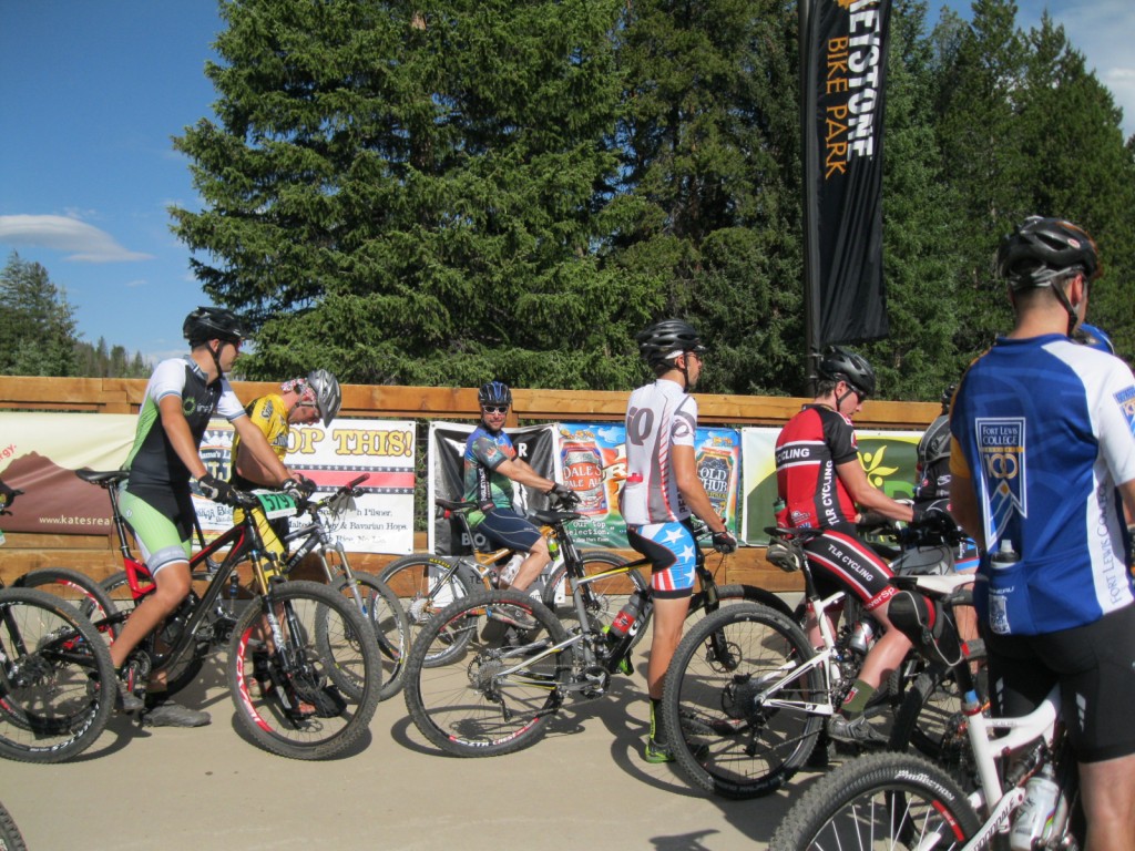
Getting ready to roll in the Snake River Challenge

IMG_0904

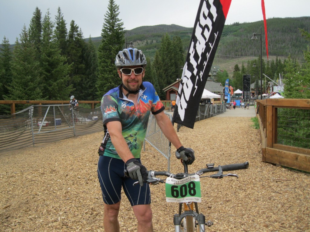
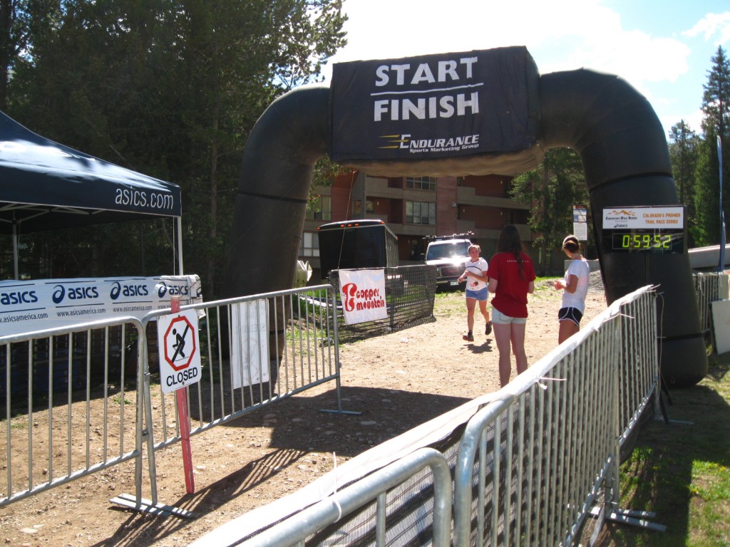
7.5 hours and 58 miles later!
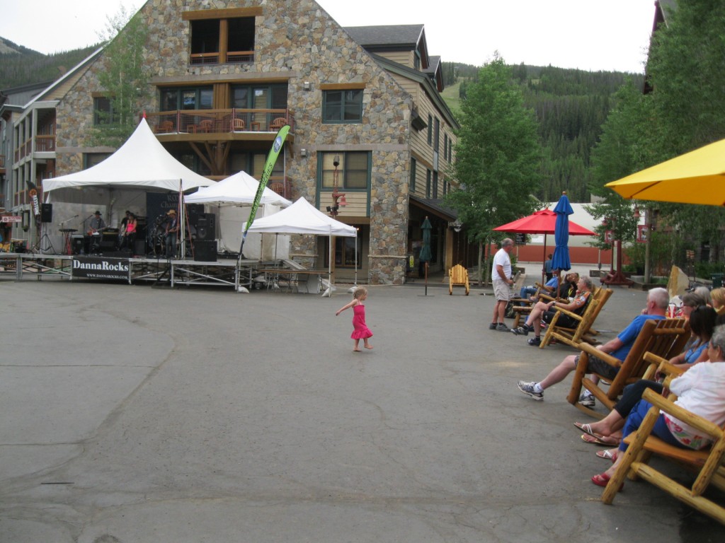
Sienna dancing at Keystone
Sienna dancing at Keystone – in fact she was ‘performing’ for everyone seated!
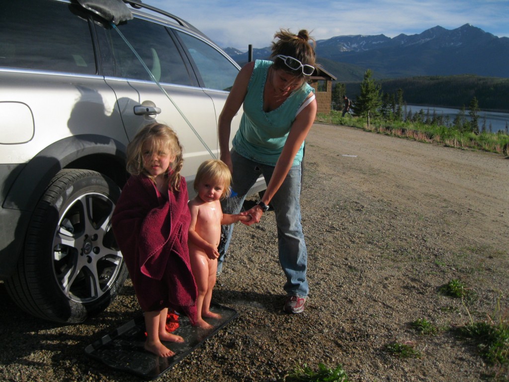
Shower time!
Shower time – camp style!
Post shower
Post shower
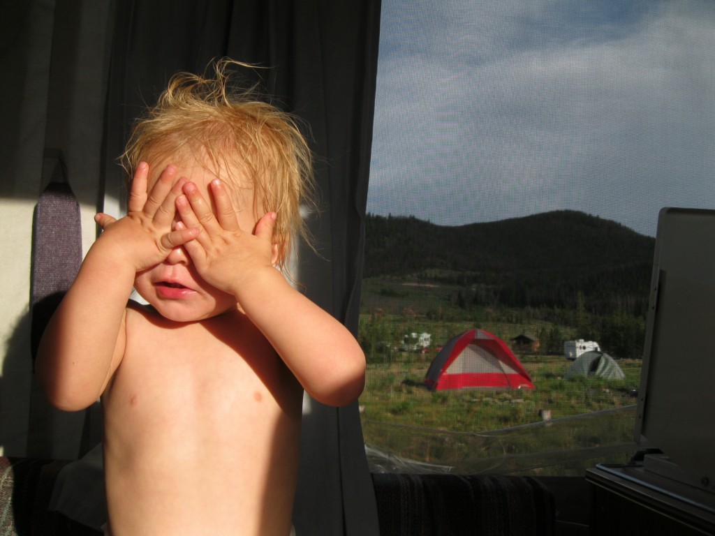
Too bright!
Too bright!
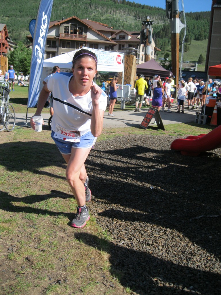
That girl looks ready to run...look out!
That girl looks ready to run…look out!
Wendy's spectator section
Wendy’s spectator section
6 miles into the half marathon!
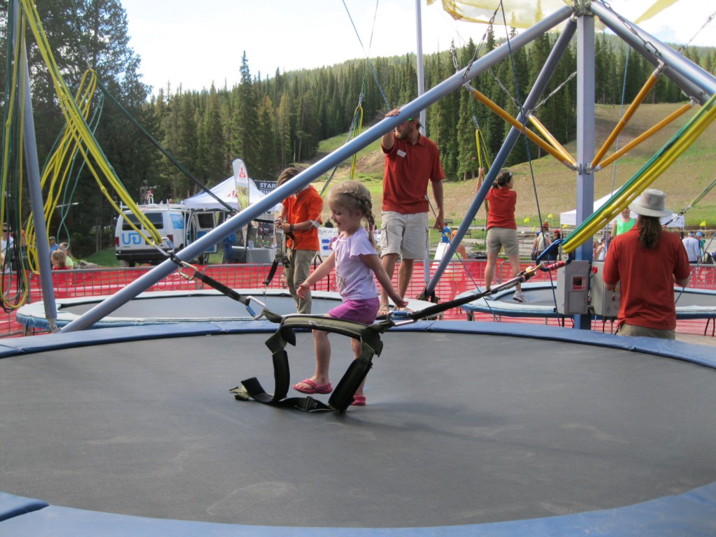
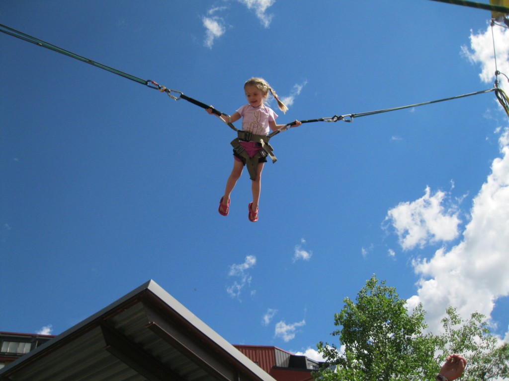
Sienna getting ready to jump at Copper
...and up!
…and up!
Toast - after 13.1 miles topping out at 10,500 feet!
Toast – after 13.1 miles topping out at 10,500 feet!

IMG_0938

Let's ride! Catch me if you can.
Let’s ride! Catch me if you can.

WP_000659


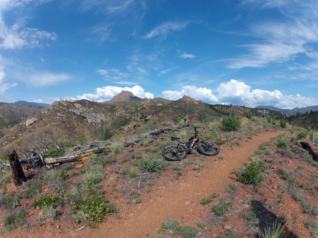
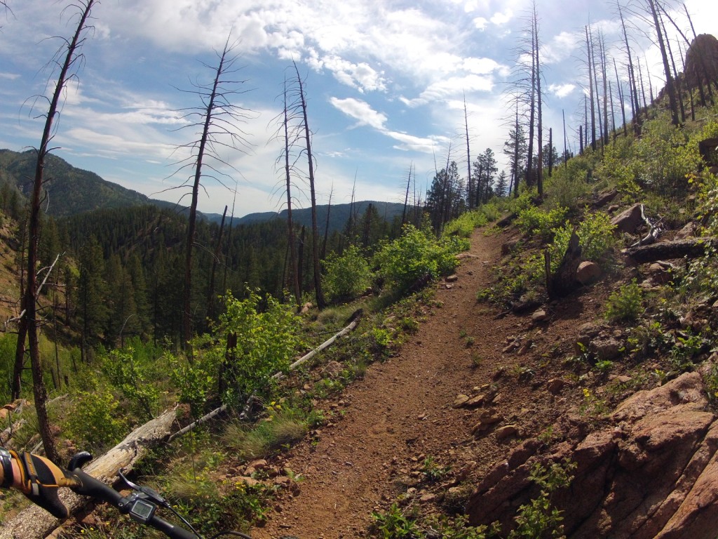
Bailey Deckers Ride

Ride Details

75 Miles (23 trail miles, 47 dirt roads, 5 miles paved roads)

12,200′ climbing elevation

9 hours (7:30 ride time)
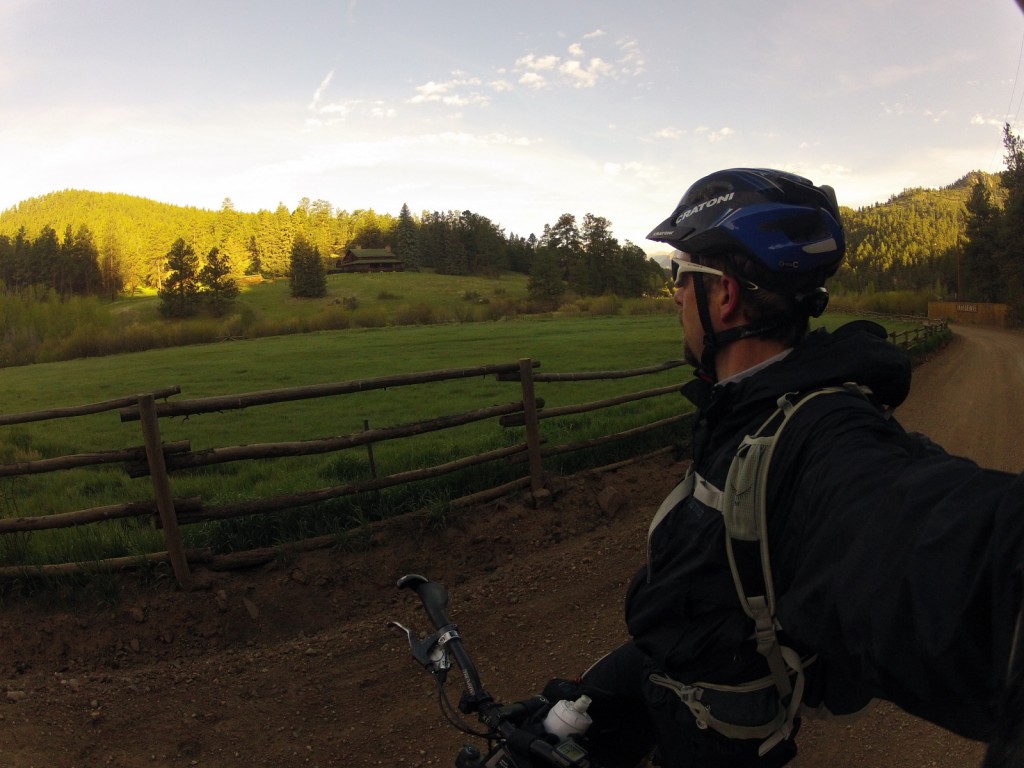
Early morning outside Bailey at the Estabrook Ranch
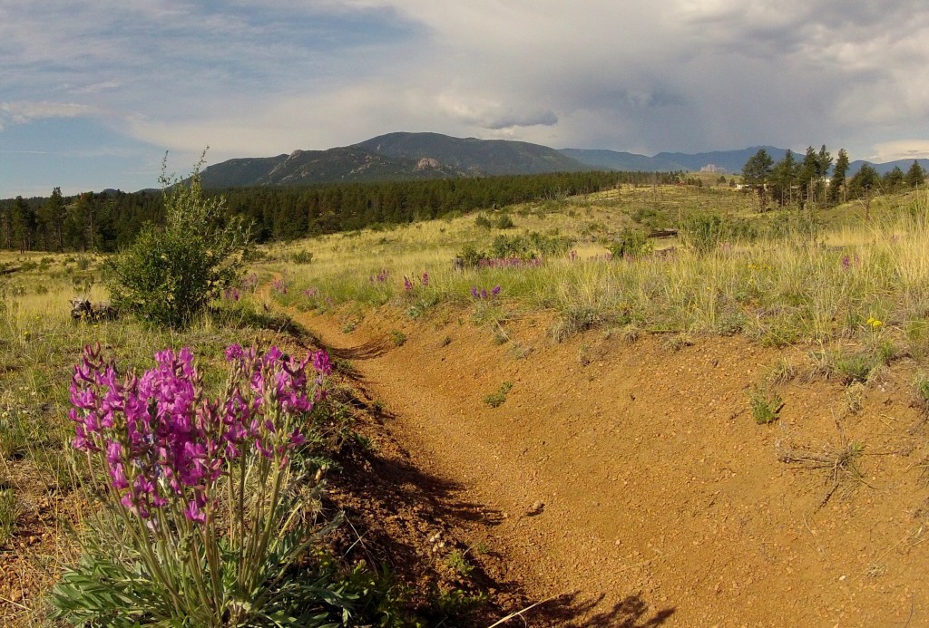
Flowers along the Colorado Trail
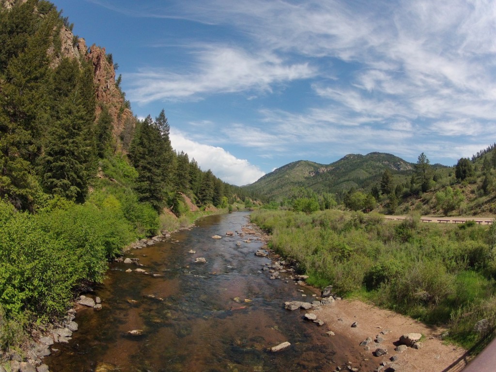
High above the South Platte near Chair Rocks
Climbing on the Colorado Trail
The South Platte
The South Platte
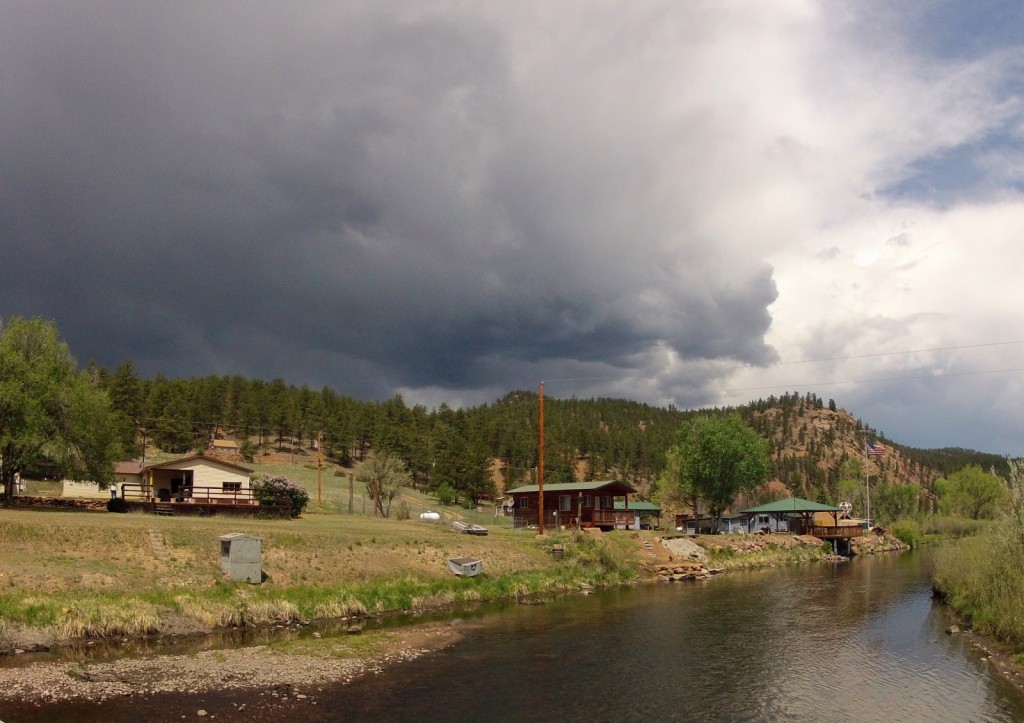
Dark skies near Deckers
Heading up and out of Deckers
Into the Hayman Burn area
Riding into more rain
DCIM100GOPRO
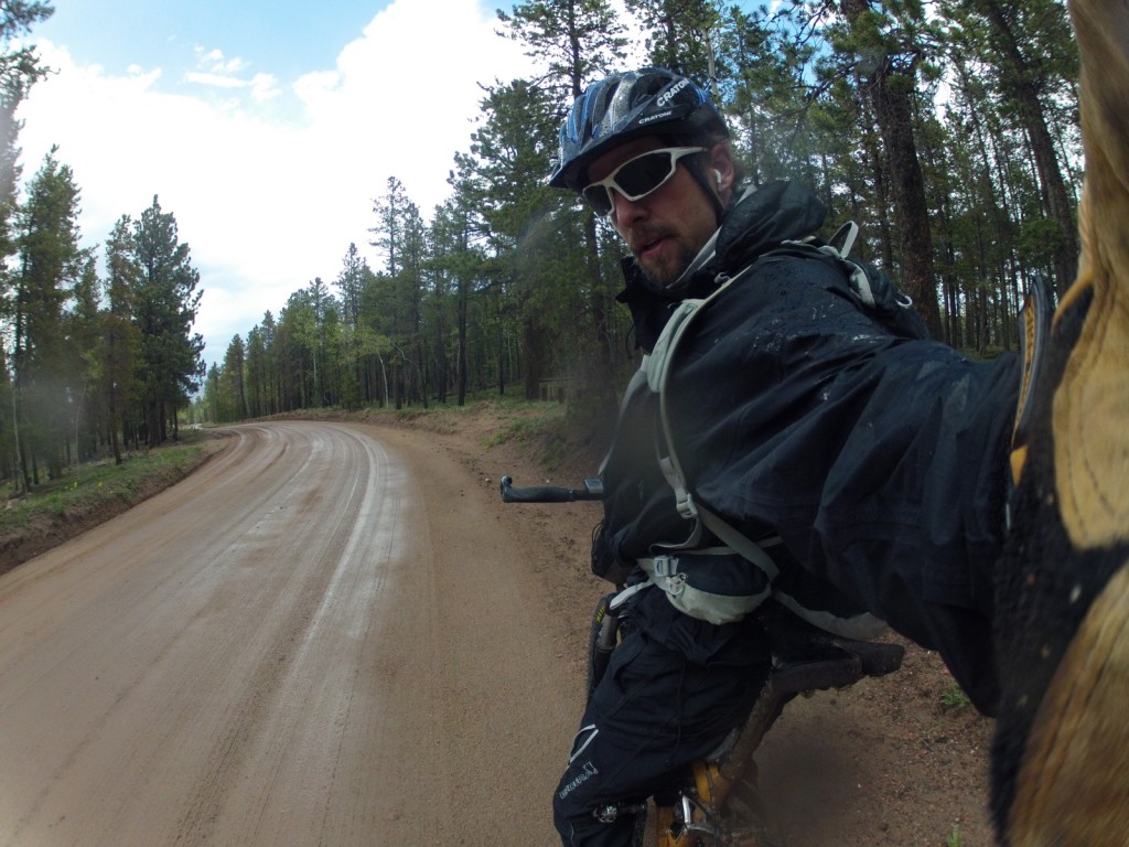
Posing

DCIM100GOPRO

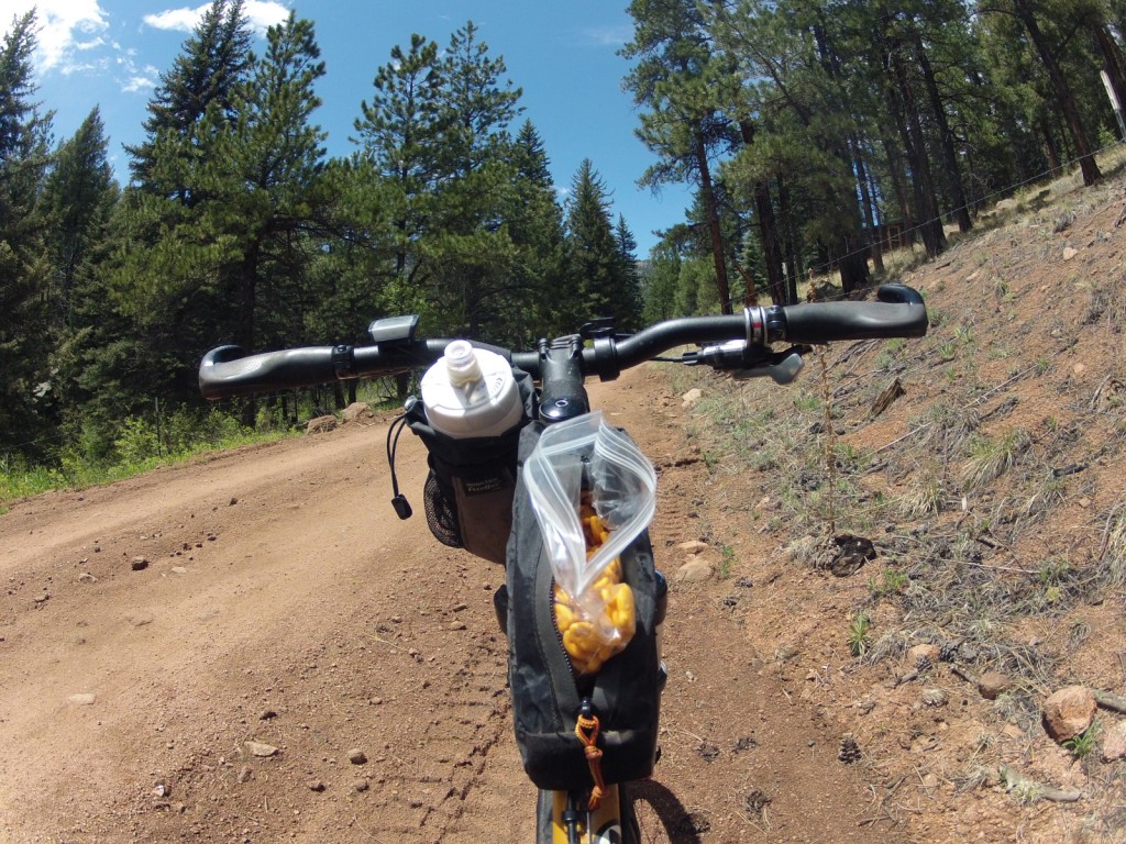
My quick delivery Goldfish system
My quick delivery Goldfish system 🙂
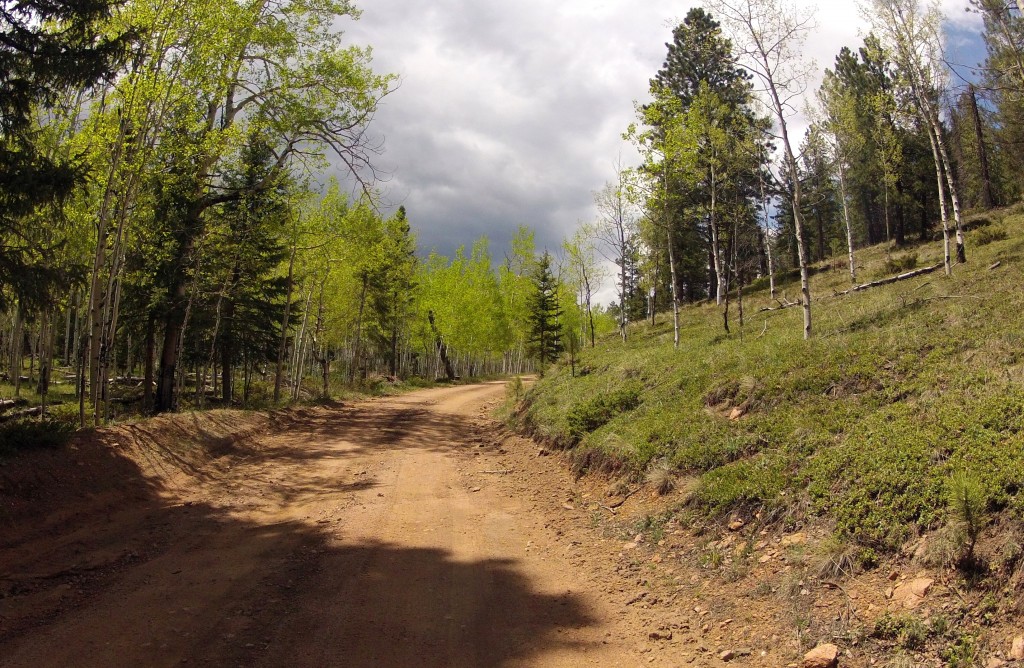
Nice country road
Nice country road on way to Stoney Pass
Rain Again!
Rain again

Colorado Trail Race 2013 – Gear List

Here is the gear list for the Trail Race attempt this year. See this post for the changes from last year.

I’ll be starting on August 3rd at 8am heading southbound doing an ITT, individual time trial (yellow dots on the tracker). The group start is in Durango this year heading northbound on July 21st at 4am. Tracking will be live here: Trackleaders

Bikepacking bags:

Revelate Designs: Handlebar Bag &  Jerrycan

Cleaveland Mountaineering: Seat Bag, Gas Tank

All gear (minus bike) below including bags and backpack comes in at approx. 15 lbs.

For Food plan read this post

 Bike

  • 2008 Novara System 2.0 full squish
  • Mavic Wheelset
  • Maxxis Ardent 2.4 Tires (EXO sidewall)
  • 1×9 drivetrain – 28t chainring 11/36 cassette. I’m using the Widget Single Ring system which allows me to use a smaller chainring on the front than my crank would normally allow.

 Camp

 Clothes

  • Short Sleeve Jersey
  • Chamois
  • Endura Gloves
  • Arm/Leg Warmers
  • Endura Vest
  • 1/4 zip fleece
  • Golite Rain Jacket
  • Marmot Precip Rain Pants
  • Wool Socks (for riding)
  • Swiftwick knee length Compression Socks (for sleeping)
  • Pearl Izumi X-Alp Shoes
  • Cratoni Helmet w/rear light
  • Sunglasses with multiple lenses
  • Cycling Cap
  • Skullcap

 Tool kit and Spare Parts

  • Crank Brothers Multi Tool
  • Tire Lever
  • Lube/Rag
  • Patch Kits
  • Extra Chain Links
  • Fiberfix Spare Spoke
  • Tire & Shock Pump
  • Tubes
  • Extra Brake Pads
  • Extra Chainring Bolts
  • Extra Cleats/Screws
  • Hose Clamps
  • Zip Ties/Duct Tape/Electrical Tape
  • Knife
  • Spare Derailleur Hanger
  • Spare Jockey pulleys
  • Spare Cable
  • Surgical Gloves (for greasy trail side chain maintenance)

 First Aid

  • Toilet Paper
  • Chamois Cream
  • Ibuprofen
  • Bandaids/Gauze
  • Antibiotic Cream
  • Soap
  • Hockey Tape
  • Alcohol Swabs/Iodine
  • Handiwipes
  • Travel Toothbrush/paste
  • Visine
  • Sunscreen
  • Tums

 Gear

  • SPOT Satellite Communicator
  • Delorme Earthmate GPS
  • Fenix Flashlight – Helmet Mounted
  • Princeton Tec EOS light – Handlebar Mounted
  • Cyclocomputer
  • Rear blinky Light
  • Camera
  • Phone
  • iPod Shuffle

 Others

  • Colorado Trail Foundation Data Book Pages
  • 3-liter Bladder with Sawyer In-Line Water filter
  • 1 Water Bottle
  • ID/Credit Card
  • Osprey Talon 22 Backpack

New Tent Below

WP_000410 NWP_130601_0000


New Revelate Designs Handlebar Bag below

WP_000456

WP_000755


WP_000554

Colorado Trail Race 2013: Here we go again

The trail race is on again this year. For me it will be an ITT (Individual Time Trail) since I can’t be at the group start due to timing.

There are a couple changes this year. The group start will be in Durango for the first time, meaning the bulk of racers will be headed northbound toward Denver. There will still be a good chunk of riders following the traditional southbound route – me among them. Although all of us south-bounders this year will be considered ITT’ers.

I will be starting on my own, most likely, this year which will be very different from last year lining up with 65 other racers and charging up the Waterton Canyon road in a huge peloton. I will still have the SPOT tracking, will still be up on the race map on trackleaders and will still be attempting to race – except it will just be me against the clock. Lots of racers do ITT’s for different reasons: waiting for good weather windows, scheduling conflicts, wanting to do it alone, etc. For me it is simply scheduling, but I am intrigued with the thought of doing it solo.

The other big change this year is the removal of the 25 mile US-285 highway section detour and the re-introduction of the ‘official’ 75 mile Tarryall detour. This detour – among many along the CT for cyclists – skirts the Lost Creek Wilderness outside Bailey. Wilderness areas prohibit mechanized travel of which bikes unfortunately have become categorized. Maybe it’s a good thing, lot of debate around this issue. Either way this means a much longer detour on remote forest service roads: 30 miles on dirt, 40ish on pavement and 6 on singletrack to get you back to Kenosha Pass (instead of 25 relatively quick, yet hellishly dangerous miles on high-speed pavement from Bailey). This also removes Bailey as a resupply option, which means much more food needs to be carried from the start. For me, this will mean at least 2 full days of riding before any resupply, so I have to think carefully about what to carry from the start.

I have a few changes to make this year from experiences last year.

  1. The bivy sack will be replaced with a real tent.
  2. No stove
  3. Mail drop food to Buena Vista

For number 1, it hit me on the first night of the race last year. A monstrous thunderstorm lashed all night on the first long night. I spent the whole night holding my bivy sack up off my face to stem the tide of water flowing INTO the bivy sack. Needless to say, in the morning I was weary and raw and wet. No way to spend the night. Also, I hated the thought of rain moving in as I set up camp. With no real shelter, it was very tricky to get changed into ‘camp’ clothes (meager to say the least while bikepacking) and get into the bivy during a rain event without getting wet (call me a wimp, just not before you spend a night at 10,500 feet in an alpine bivy sack in a torrential downpour, with rolling thunder and violent lighting…all night). So a tent it is. This one in particular. It weighs a good 10oz more than my bivy, but I will make up for that with #2.

For number 2, it hit me as I threw away my stove in Buena Vista after not using it once in the 3 days it took me to get there. I had brought a small Esbit stove with fuel tablets, a GSI mug, spork and lighter. All told, probably $50 bucks worth of gear – but useless weight to carry so it went in the trash in one fell swoop (I kept the lighter). Plus, the fuel tablet packets had broken in my seat bag and coated everything with a fine white powder. This year, I have assembled food and some ‘meals’ that don’t need any cooking whatsoever.

I realized on the first night, that the nature of the race leaves you exhausted and numb at the end of the day and you want nothing more than to just climb into your sleeping bag and sleep. In the morning, you are cold and stiff and want to get moving. For me there was no time for cooking. Shove in some food and sleep. In the morning, shove in some food and get rolling.

For number 3, it hit me as I stumbled around the City Market in Buena Vista trying to find 4 days worth of calories to shove in my bags for the next section of trail. From Buena Vista to your next resupply in Silverton awaits 200 miles of remote backcountry travel. For most, this is a significant roadblock, many racers drop out in BV, or Mt Princeton, or US-50 into Salida as I did. The realization of that monumental stretch of nothingness is enough to scare the uninitiated into retreat. It even looms above me now as I think about the trail. I’ll have to keep it out of mind until I am there and then just move forward mile by mile. It doesn’t help that the last half of the trail is the hardest half.

So for this year instead of stumbling through the store in a dazed, confused state (‘Should I buy this entire box of cereal because it has 1500 calories in it?’, ‘That summer sausage sure looks good?’) hoping that I buy enough calories, and stuff that I can actually eat on the trail, I will send a box through general delivery containing 4 days of carefully prepared and packed food. I will pick up that food at the post office, shove it in my bags and be off. There is a tradeoff here though: on one hand I get the piece of mind of knowing that I have enough food, good food, and carefully planned calories for each day; on the other hand what if the post office has just closed when I get there? I will have to wait until the following morning to get my food…and that could kill any momentum (or it could be just the rest I need before the next stage). Who knows.

As you can see, this stuff never leaves you. I think about these kinds of things daily. Will it always be like this? Will the CTR always be at the back of my head, random thoughts on how to do things better popping into my subconscious like popcorn kernels bursting into shape? Probably. That is the curse of the Colorado Trail. But I can think of worse curses.

For those interested the bike will not change. I apparently do not know how to save money – it helps to actually have any to save. 🙂